Atuatangi Bay Area, Atuatangi Bay Postcode & Map in Atuatangi Bay
Atuatangi Bay Area, Atuatangi Bay Postcode & Map in Atuatangi Bay, Marlborough District, New Zealand
Atuatangi Bay, Marlborough District, New Zealand
Atuatangi Bay Area (estimated)
0.2 square kilometersAtuatangi Bay Population (estimated)
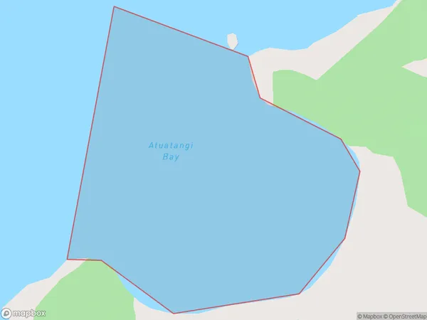
0 people live in Atuatangi Bay, Marlborough, NZAtuatangi Bay Suburb Area Map (Polygon)
Region
Suburb Name
Atuatangi BayOther Name(s)
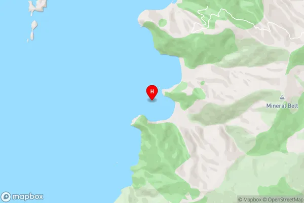
Manuhakapakapa, Otuatangi BayAtuatangi Bay Area Map (Street)
Local Authority
Marlborough DistrictFull Address
Atuatangi Bay, Marlborough District, New ZealandAddress Type
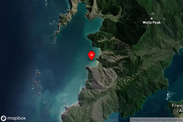
Coastal BayAtuatangi Bay Suburb Map (Satellite)
Country
Main Region in AU
MarlboroughAtuatangi Bay Region Map

Coordinates
-40.9069357,173.7912686 (latitude/longitude)Distances
The distance from Atuatangi Bay, , Marlborough District to NZ Top 10 Cities