Opotiki Bay Area, Opotiki Bay Postcode & Map in Opotiki Bay
Opotiki Bay Area, Opotiki Bay Postcode & Map in Opotiki Bay, Marlborough District, New Zealand
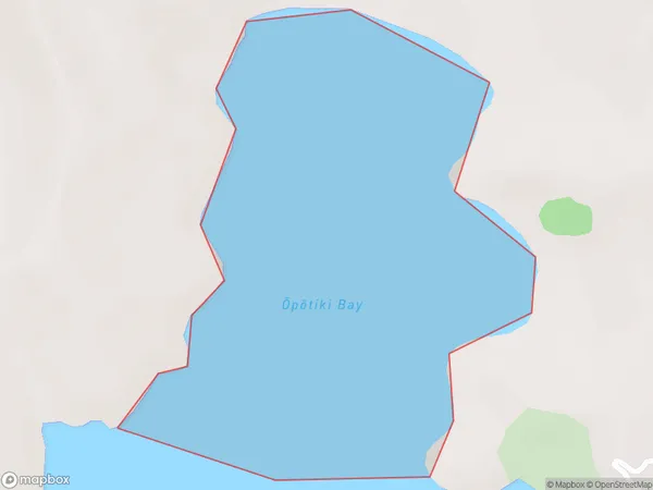
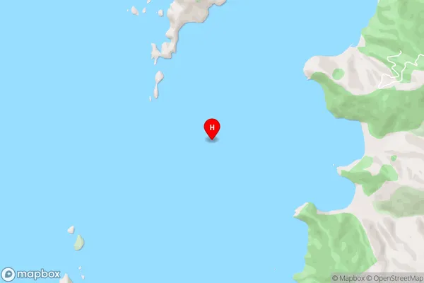
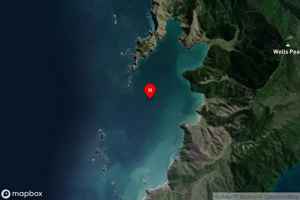
Opotiki Bay, Marlborough District, New Zealand
Opotiki Bay Area (estimated)
0.3 square kilometersOpotiki Bay Population (estimated)
0 people live in Opotiki Bay, Marlborough, NZOpotiki Bay Suburb Area Map (Polygon)
Opotiki Bay Introduction
Opotiki Bay is located in the Marlborough region of New Zealand's North Island. It is known for its stunning natural beauty, including crystal-clear waters, sandy beaches, and lush green forests. The bay is a popular destination for outdoor activities such as swimming, kayaking, and fishing, and is home to a variety of wildlife, including dolphins, whales, and seals. The bay also has a rich cultural heritage, with a strong Maori population and a historic village located on its shores.Region
Suburb Name
Opotiki Bay (Maori Name: Ōpōtiki Bay)Other Name(s)
ManuhakapakapaOpotiki Bay Area Map (Street)
Local Authority
Marlborough DistrictFull Address
Opotiki Bay, Marlborough District, New ZealandAddress Type
Coastal BayOpotiki Bay Suburb Map (Satellite)
Country
Main Region in AU
MarlboroughOpotiki Bay Region Map

Coordinates
-40.9030597,173.7777502 (latitude/longitude)Distances
The distance from Opotiki Bay, , Marlborough District to NZ Top 10 Cities