Hahangarua Bay Area, Hahangarua Bay Postcode & Map in Hahangarua Bay
Hahangarua Bay Area, Hahangarua Bay Postcode & Map in Hahangarua Bay, Far North District, New Zealand
Hahangarua Bay, Far North District, New Zealand
Hahangarua Bay Area (estimated)
0.0 square kilometersHahangarua Bay Population (estimated)
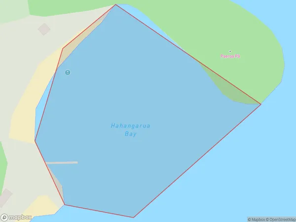
0 people live in Hahangarua Bay, Bay of Islands-Whangaroa Community, NZHahangarua Bay Suburb Area Map (Polygon)
Hahangarua Bay Introduction
Hahangarua Bay is a picturesque bay located in Northland, New Zealand. It is known for its stunning natural beauty, including rugged cliffs, crystal-clear waters, and a diverse range of marine life. The bay is a popular destination for outdoor activities such as hiking, kayaking, and fishing, and is also home to the Hahangarua Forest Park, which is a protected area with a rich cultural and ecological heritage.Region
Major City
Suburb Name
Hahangarua BayOther Name(s)
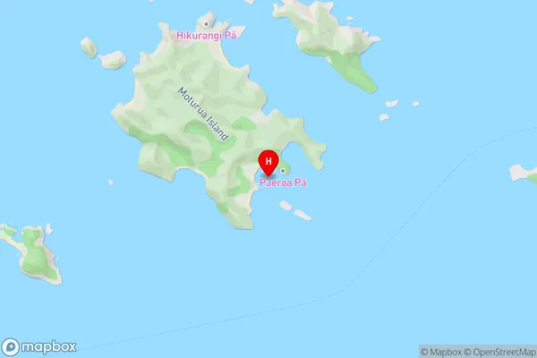
Te Rawhiti Inlet, Bay Of IslandsHahangarua Bay Area Map (Street)
Local Authority
Far North DistrictFull Address
Hahangarua Bay, Far North District, New ZealandAddress Type
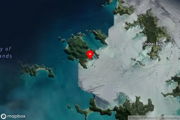
Coastal BayHahangarua Bay Suburb Map (Satellite)
Country
Main Region in AU
NorthlandHahangarua Bay Region Map

Coordinates
-35.2282782,174.1969504 (latitude/longitude)Distances
The distance from Hahangarua Bay, , Far North District to NZ Top 10 Cities