Whangaumu Bay Area, Whangaumu Bay Postcode & Map in Whangaumu Bay
Whangaumu Bay Area, Whangaumu Bay Postcode & Map in Whangaumu Bay, Area outside Territorial Authority, New Zealand
Whangaumu Bay, Area outside Territorial Authority, New Zealand
Whangaumu Bay Area (estimated)
-1.2 square kilometersWhangaumu Bay Population (estimated)
5 people live in Whangaumu Bay, Northland, NZWhangaumu Bay Suburb Area Map (Polygon)
Not available for nowWhangaumu Bay Introduction
Whangaumu Bay is located in the Northland region of New Zealand. It is known for its stunning natural beauty, including rugged cliffs, crystal-clear waters, and a diverse range of marine life. The bay is a popular destination for outdoor activities such as hiking, kayaking, and fishing, and is home to the Whangaumu Forest Park, a protected area that covers over 10,000 hectares of land.Region
Major City
Suburb Name
Whangaumu BayOther Name(s)
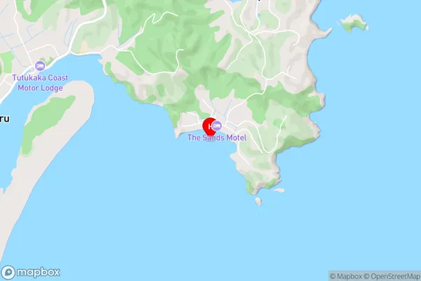
Wellington BayWhangaumu Bay Area Map (Street)
Local Authority
Area outside Territorial AuthorityFull Address
Whangaumu Bay, Area outside Territorial Authority, New ZealandAddress Type
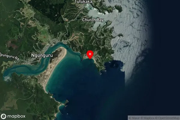
Coastal BayWhangaumu Bay Suburb Map (Satellite)
Country
Main Region in AU
NorthlandWhangaumu Bay Region Map

Coordinates
-35.635564,174.5282655 (latitude/longitude)Distances
The distance from Whangaumu Bay, , Area outside Territorial Authority to NZ Top 10 Cities