Watering Cove Area, Watering Cove Postcode & Map in Watering Cove
Watering Cove Area, Watering Cove Postcode & Map in Watering Cove, Southland District, New Zealand
Watering Cove, Southland District, New Zealand
Watering Cove Area (estimated)
0.1 square kilometersWatering Cove Population (estimated)
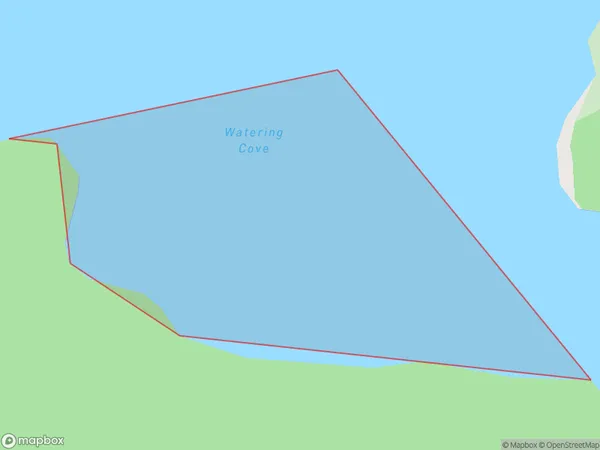
0 people live in Watering Cove, Southland, NZWatering Cove Suburb Area Map (Polygon)
Watering Cove Introduction
Watering Cove is a small, secluded beach located in Fiordland National Park in Southland, New Zealand. It is known for its crystal-clear waters, stunning coastal scenery, and peaceful atmosphere, making it a popular spot for swimming, kayaking, and hiking. The cove is accessible only by boat or a long, scenic walk, and it offers a sense of isolation and tranquility that is hard to find elsewhere.Region
Suburb Name
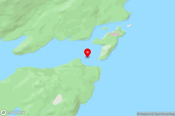
Watering CoveWatering Cove Area Map (Street)
Local Authority
Southland DistrictFull Address
Watering Cove, Southland District, New ZealandAddress Type
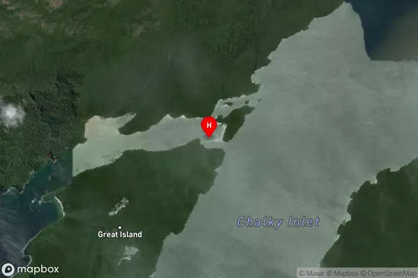
Coastal BayWatering Cove Suburb Map (Satellite)
Country
Main Region in AU
SouthlandWatering Cove Region Map

Coordinates
-45.978222,166.583861 (latitude/longitude)Distances
The distance from Watering Cove, , Southland District to NZ Top 10 Cities