Waiti Bay Area, Waiti Bay Postcode(0622) & Map in Waiti Bay
Waiti Bay Area, Waiti Bay Postcode(0622) & Map in Waiti Bay, Auckland, New Zealand
Waiti Bay, Auckland, New Zealand
Waiti Bay Postcodes
Waiti Bay Area (estimated)
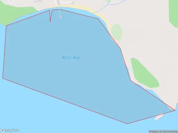
0.3 square kilometersWaiti Bay Population (estimated)
0 people live in Waiti Bay, Waiheke, NZWaiti Bay Suburb Area Map (Polygon)
Waiti Bay Introduction
Waiti Bay is a small, peaceful bay located in the Eastern Bay of Islands, north of Auckland, New Zealand. It is known for its clear waters, stunning natural scenery, and peaceful atmosphere, making it a popular destination for swimming, kayaking, and fishing. The bay is surrounded by lush green hills and native forests, and is home to a variety of bird species, including the rare New Zealand kiwi.Region
Major City
Suburb Name
Waiti BayOther Name(s)
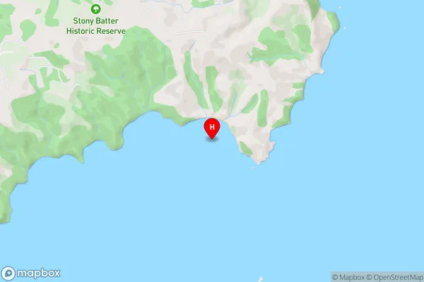
Hauraki GulfWaiti Bay Area Map (Street)
Local Authority
AucklandFull Address
Waiti Bay, Auckland, New ZealandAddress Type
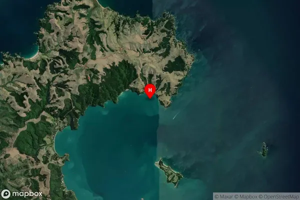
Coastal BayWaiti Bay Suburb Map (Satellite)
Country
Main Region in AU
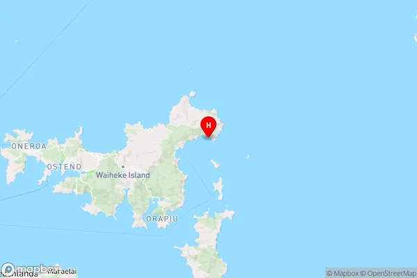
AucklandWaiti Bay Region Map
Coordinates
-36.7762051,175.1874369 (latitude/longitude)Distances
The distance from Waiti Bay, , Auckland to NZ Top 10 Cities