Waihaorangatahi Bay Area, Waihaorangatahi Bay Postcode(0622) & Map in Waihaorangatahi Bay
Waihaorangatahi Bay Area, Waihaorangatahi Bay Postcode(0622) & Map in Waihaorangatahi Bay, Auckland, New Zealand
Waihaorangatahi Bay, Auckland, New Zealand
Waihaorangatahi Bay Postcodes
Waihaorangatahi Bay Area (estimated)
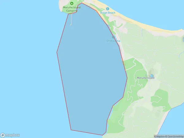
1.3 square kilometersWaihaorangatahi Bay Population (estimated)
0 people live in Waihaorangatahi Bay, Waiheke, NZWaihaorangatahi Bay Suburb Area Map (Polygon)
Waihaorangatahi Bay Introduction
Waihaorangatahi Bay is a small, sheltered bay located in the Auckland region of New Zealand. It is known for its beautiful beaches, clear waters, and stunning coastal scenery. The bay is a popular spot for swimming, kayaking, and fishing, and it is also home to a small community of residents. The bay is surrounded by native bush and farmland, and it is a protected area under the New Zealand Historic Places Trust.Region
Major City
Suburb Name
Waihaorangatahi BayOther Name(s)
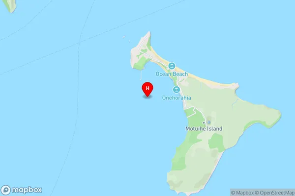
Hauraki GulfWaihaorangatahi Bay Area Map (Street)
Local Authority
AucklandFull Address
Waihaorangatahi Bay, Auckland, New ZealandAddress Type
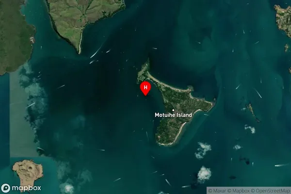
Coastal BayWaihaorangatahi Bay Suburb Map (Satellite)
Country
Main Region in AU
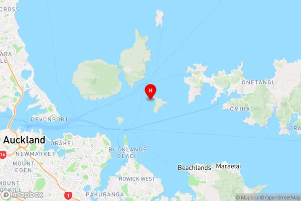
AucklandWaihaorangatahi Bay Region Map
Coordinates
-36.8089757,174.9360535 (latitude/longitude)Distances
The distance from Waihaorangatahi Bay, , Auckland to NZ Top 10 Cities