Umukorora Bay Area, Umukorora Bay Postcode & Map in Umukorora Bay
Umukorora Bay Area, Umukorora Bay Postcode & Map in Umukorora Bay, Marlborough District, New Zealand
Umukorora Bay, Marlborough District, New Zealand
Umukorora Bay Area (estimated)
0.4 square kilometersUmukorora Bay Population (estimated)
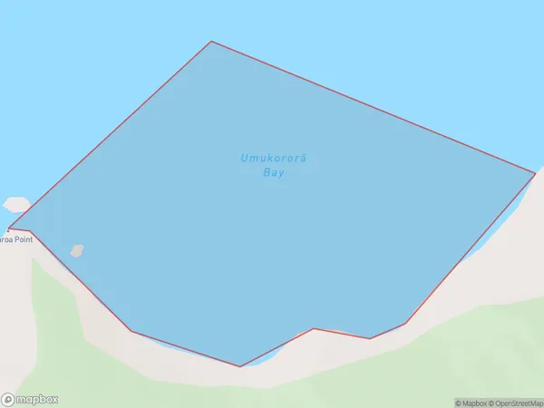
0 people live in Umukorora Bay, Marlborough, NZUmukorora Bay Suburb Area Map (Polygon)
Umukorora Bay Introduction
Umukorora Bay is a small, sheltered bay located in the Marlborough region of New Zealand's South Island. It is known for its clear waters, sandy beaches, and stunning coastal scenery. The bay is a popular spot for swimming, kayaking, and fishing, and it is also home to a small community of residents. The bay is surrounded by lush green hills and is located within the Marlborough Sounds UNESCO World Heritage Area.Region
Suburb Name
Umukorora Bay (Maori Name: Umukororā Bay)Other Name(s)
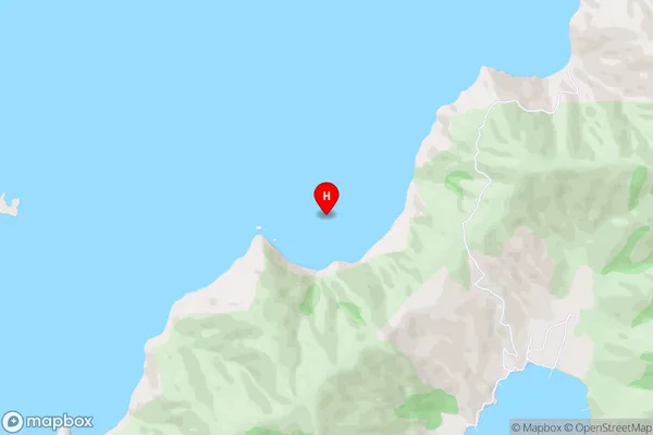
Queen Charlotte Sound (Totaranui)Umukorora Bay Area Map (Street)
Local Authority
Marlborough DistrictFull Address
Umukorora Bay, Marlborough District, New ZealandAddress Type
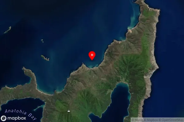
Coastal BayUmukorora Bay Suburb Map (Satellite)
Country
Main Region in AU
MarlboroughUmukorora Bay Region Map

Coordinates
-41.1153619,174.3541797 (latitude/longitude)Distances
The distance from Umukorora Bay, , Marlborough District to NZ Top 10 Cities