Te Awa-o-Tu / Thompson Sound Area, Te Awa-o-Tu / Thompson Sound Postcode & Map in Te Awa-o-Tu / Thompson Sound
Te Awa-o-Tu / Thompson Sound Area, Te Awa-o-Tu / Thompson Sound Postcode & Map in Te Awa-o-Tu / Thompson Sound, Southland District,
Te Awa-o-Tu / Thompson Sound, Southland District,
Te Awa-o-Tu / Thompson Sound Area (estimated)
31.7 square kilometersTe Awa-o-Tu / Thompson Sound Population (estimated)
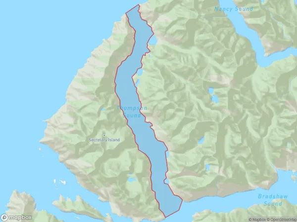
0 people live in Te Awa-o-Tu / Thompson Sound, Brighton, NZTe Awa-o-Tu / Thompson Sound Suburb Area Map (Polygon)
Te Awa-o-Tu / Thompson Sound Introduction
Te Awa-o-Tu / Thompson Sound is a fjord in Otago, New Zealand. It is located at the southern end of the South Island, and is part of the Fiordland National Park. The sound is 30 kilometers long and up to 1.5 kilometers wide, and is surrounded by high mountains. It is a popular destination for tourists, who can take boat tours to explore the fjord and its surrounding area.Region
Major City
Suburb Name
Te Awa-o-Tu / Thompson Sound (Maori Name: Te Awa-o-Tū / Thompson Sound)Te Awa-o-Tu / Thompson Sound Area Map (Street)
Local Authority
Southland DistrictFull Address
Te Awa-o-Tu / Thompson Sound, Southland District,Address Type
Coastal BayTe Awa-o-Tu / Thompson Sound Suburb Map (Satellite)
Country
Main Region in AU
OtagoTe Awa-o-Tu / Thompson Sound Region Map
Coordinates
0,0 (latitude/longitude)Distances
The distance from Te Awa-o-Tu / Thompson Sound, , Southland District to NZ Top 10 Cities