Te Wharu Bay Area, Te Wharu Bay Postcode(3889) & Map in Te Wharu Bay
Te Wharu Bay Area, Te Wharu Bay Postcode(3889) & Map in Te Wharu Bay, Otorohanga District, New Zealand
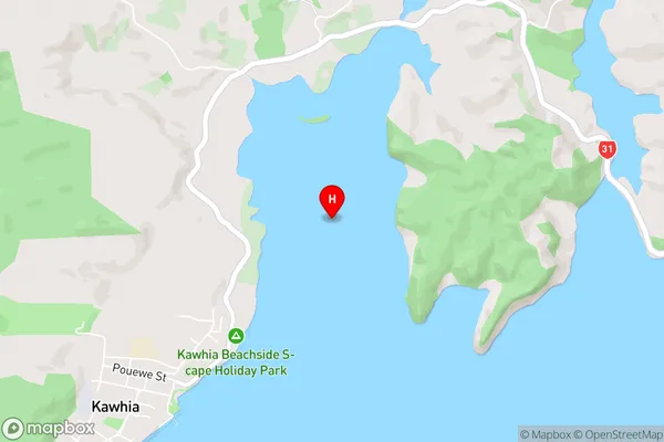
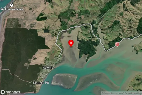
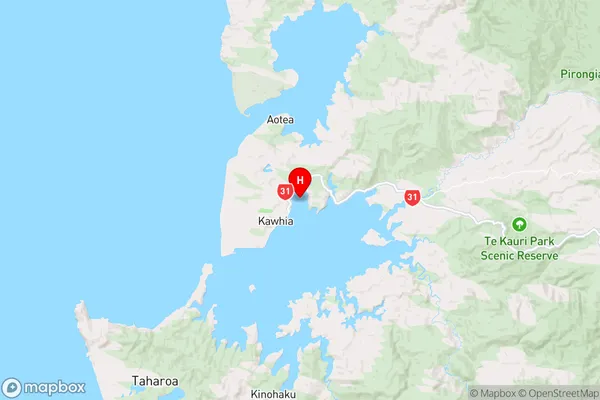
Te Wharu Bay, Otorohanga District, New Zealand
Te Wharu Bay Postcodes
Te Wharu Bay Area (estimated)
-1.2 square kilometersTe Wharu Bay Population (estimated)
0 people live in Te Wharu Bay, Waikato, NZTe Wharu Bay Suburb Area Map (Polygon)
Not available for nowTe Wharu Bay Introduction
Waikato's Te Wharu Bay is a popular beach destination with a long history of Māori settlement. It is known for its clear waters, sandy beaches, and stunning coastal views. The bay also has a rich cultural heritage, with several important archaeological sites located nearby. Visitors can enjoy a range of activities, including swimming, surfing, fishing, and hiking. The bay is also home to a small community of residents who are dedicated to preserving its natural beauty and cultural heritage.Region
Suburb Name
Te Wharu BayOther Name(s)
Kawhia HarbourTe Wharu Bay Area Map (Street)
Local Authority
Otorohanga District (Maori Name: Ōtorohanga District)Full Address
Te Wharu Bay, Otorohanga District, New ZealandAddress Type
Coastal BayTe Wharu Bay Suburb Map (Satellite)
Country
Main Region in AU
WaikatoTe Wharu Bay Region Map
Coordinates
-38.0537487,174.8350768 (latitude/longitude)Distances
The distance from Te Wharu Bay, , Otorohanga District to NZ Top 10 Cities