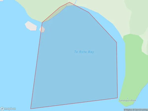
Te Roto Bay Area, Te Roto Bay Postcode(0622) & Map in Te Roto Bay
Te Roto Bay Area, Te Roto Bay Postcode(0622) & Map in Te Roto Bay, Auckland, New Zealand
Te Roto Bay, Auckland, New Zealand
Te Roto Bay Postcodes
Te Roto Bay Area (estimated)
0.1 square kilometersTe Roto Bay Population (estimated)
0 people live in Te Roto Bay, Aotea Great Barrier, NZTe Roto Bay Suburb Area Map (Polygon)
Te Roto Bay Introduction
Te Roto Bay is a picturesque beach located in the Auckland region of New Zealand. It is known for its clear waters, stunning sunsets, and rugged coastline. The bay is a popular spot for swimming, kayaking, and fishing, and it is also home to a small community of residents. The area is surrounded by native bush and offers a peaceful and tranquil environment away from the hustle and bustle of city life.Region
Major City
Suburb Name
Te Roto BayOther Name(s)
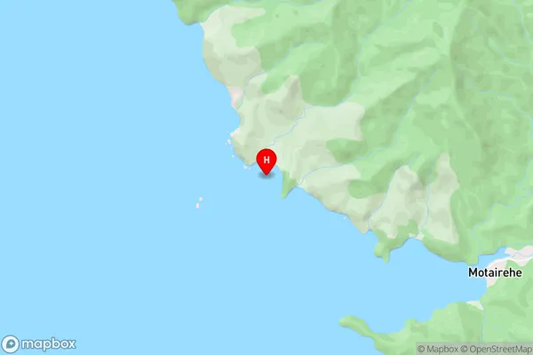
Katherine Bay, Hauraki GulfTe Roto Bay Area Map (Street)
Local Authority
AucklandFull Address
Te Roto Bay, Auckland, New ZealandAddress Type
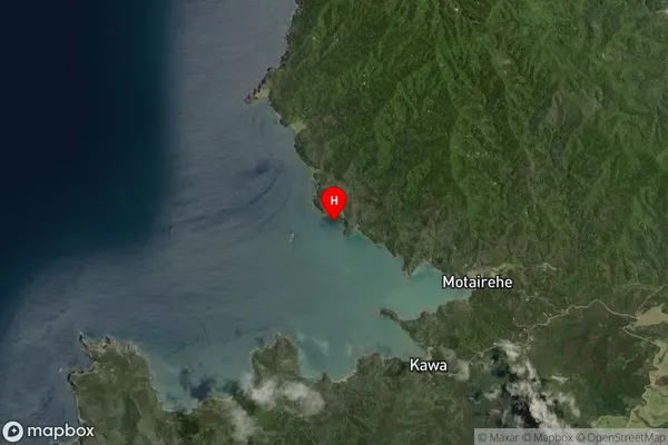
Coastal BayTe Roto Bay Suburb Map (Satellite)
Country
Main Region in AU
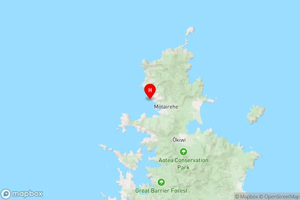
AucklandTe Roto Bay Region Map
Coordinates
-36.111034,175.3529125 (latitude/longitude)Distances
The distance from Te Roto Bay, , Auckland to NZ Top 10 Cities