Te Koru Bay Area, Te Koru Bay Postcode & Map in Te Koru Bay
Te Koru Bay Area, Te Koru Bay Postcode & Map in Te Koru Bay, Area outside Territorial Authority, New Zealand
Te Koru Bay, Area outside Territorial Authority, New Zealand
Te Koru Bay Area (estimated)
-1.2 square kilometersTe Koru Bay Population (estimated)
0 people live in Te Koru Bay, Waikato, NZTe Koru Bay Suburb Area Map (Polygon)
Not available for nowTe Koru Bay Introduction
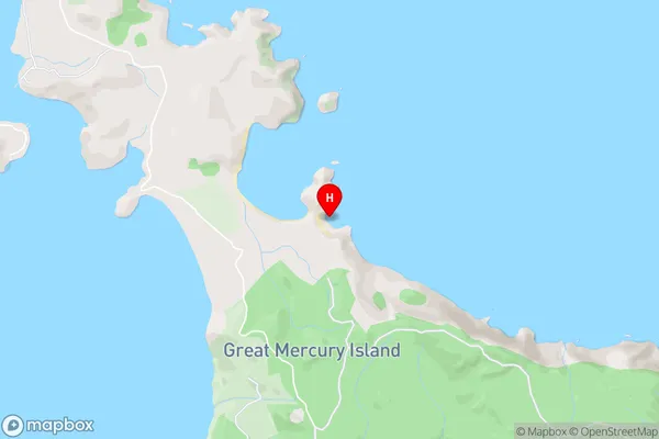
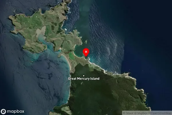
Te Koru Bay is a picturesque beach located in Waikato, New Zealand. It is known for its clear waters, stunning coastal views, and peaceful atmosphere. The bay is a popular spot for swimming, kayaking, and fishing, and it is surrounded by native bush and farmland. Visitors can also enjoy walking trails and picnicking areas. The bay has a rich history and is considered sacred by local Maori tribes.Region
Suburb Name
Te Koru BayTe Koru Bay Area Map (Street)
Local Authority
Area outside Territorial AuthorityFull Address
Te Koru Bay, Area outside Territorial Authority, New ZealandAddress Type
Coastal BayTe Koru Bay Suburb Map (Satellite)
Country
Main Region in AU
WaikatoTe Koru Bay Region Map

Coordinates
-36.6072902,175.7973397 (latitude/longitude)Distances
The distance from Te Koru Bay, , Area outside Territorial Authority to NZ Top 10 Cities