Tata Bay Area, Tata Bay Postcode(7183) & Map in Tata Bay
Tata Bay Area, Tata Bay Postcode(7183) & Map in Tata Bay, Tasman District, New Zealand
Tata Bay, Tasman District, New Zealand
Tata Bay Postcodes
Tata Bay Area (estimated)
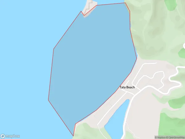
0.8 square kilometersTata Bay Population (estimated)
0 people live in Tata Bay, Tasman, NZTata Bay Suburb Area Map (Polygon)
Tata Bay Introduction
Tata Bay is a small bay located on the west coast of New Zealand's South Island, in the Tasman District. It is known for its stunning natural beauty, including rugged cliffs, crystal-clear waters, and a variety of marine life. The bay is a popular spot for hiking, kayaking, and fishing, and is also home to a small community of residents.Region
Suburb Name
Tata BayOther Name(s)
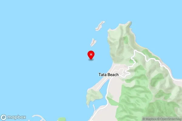
Golden BayTata Bay Area Map (Street)
Local Authority
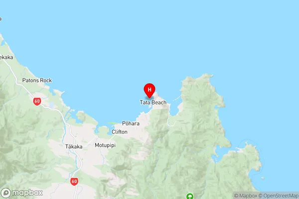
Tasman DistrictFull Address
Tata Bay, Tasman District, New ZealandAddress Type
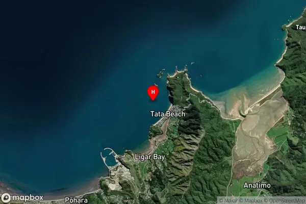
Coastal BayTata Bay Suburb Map (Satellite)
Country
Main Region in AU
TasmanTata Bay Region Map
Coordinates
-40.8083658,172.9105638 (latitude/longitude)Distances
The distance from Tata Bay, , Tasman District to NZ Top 10 Cities