Sponge Bay Area, Sponge Bay Postcode(4020) & Map in Sponge Bay
Sponge Bay Area, Sponge Bay Postcode(4020) & Map in Sponge Bay, Area outside Territorial Authority, New Zealand
Sponge Bay, Area outside Territorial Authority, New Zealand
Sponge Bay Postcodes
Sponge Bay Area (estimated)
2.1 square kilometersSponge Bay Population (estimated)
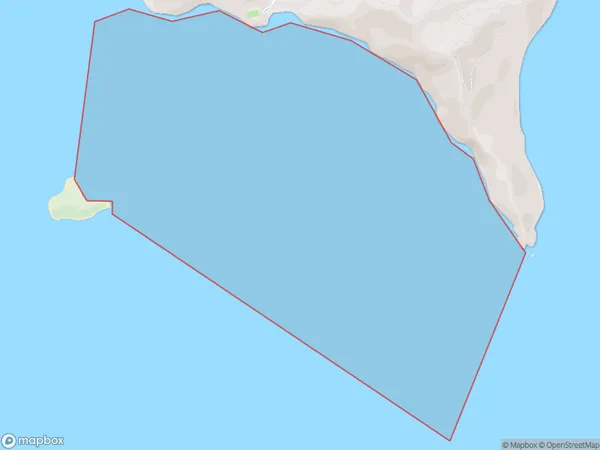
0 people live in Sponge Bay, Gisborne, NZSponge Bay Suburb Area Map (Polygon)
Sponge Bay Introduction
Sponge Bay is a popular beach in Gisborne, New Zealand, known for its golden sand and clear waters. It is a popular spot for swimming, surfing, and fishing and is surrounded by picturesque native forests. The bay also has a historic lighthouse and a small community of residents.Region
Major City
Suburb Name
Sponge BayOther Name(s)
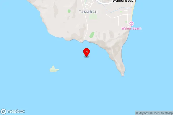
Turanganui-a-Kiwa / Poverty Bay (Maori Name: Tūranganui-a-Kiwa / Poverty Bay)Sponge Bay Area Map (Street)
Local Authority
Area outside Territorial AuthorityFull Address
Sponge Bay, Area outside Territorial Authority, New ZealandAddress Type
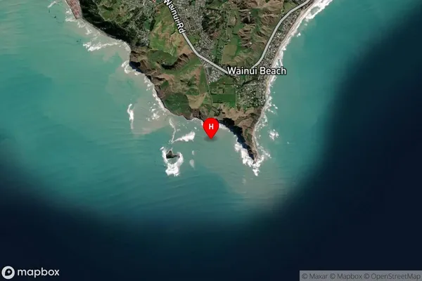
Coastal BaySponge Bay Suburb Map (Satellite)
Country
Main Region in AU
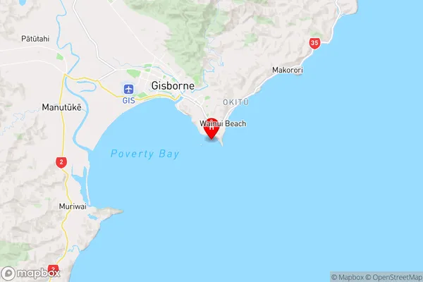
GisborneSponge Bay Region Map
Coordinates
-38.7034105,178.0583468 (latitude/longitude)Distances
The distance from Sponge Bay, , Area outside Territorial Authority to NZ Top 10 Cities