Sandy Bay Area, Sandy Bay Postcode(7197) & Map in Sandy Bay
Sandy Bay Area, Sandy Bay Postcode(7197) & Map in Sandy Bay, Auckland,
Sandy Bay, Auckland,
Sandy Bay Postcodes
Sandy Bay Area (estimated)
0.1 square kilometersSandy Bay Population (estimated)
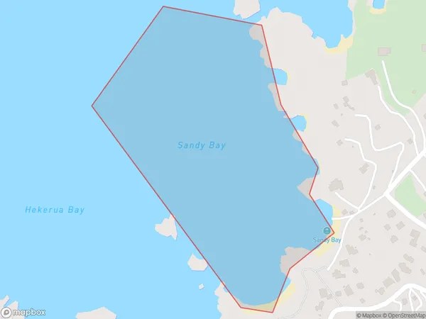
0 people live in Sandy Bay, Brighton, NZSandy Bay Suburb Area Map (Polygon)
Sandy Bay Introduction
Sandy Bay is a small beach located in the southern part of Otago, New Zealand. It is known for its peaceful atmosphere, stunning sunsets, and crystal-clear waters. The beach is surrounded by native vegetation and has a small campground and picnic area. It is a popular spot for swimming, sunbathing, and fishing, and is also a great place for birdwatching.Region
Major City
Suburb Name
Sandy BayOther Name(s)
Hauraki GulfSandy Bay Area Map (Street)
Local Authority
AucklandFull Address
Sandy Bay, Auckland,Address Type
Coastal BaySandy Bay Suburb Map (Satellite)
Country
Main Region in AU
OtagoSandy Bay Region Map
Coordinates
0,0 (latitude/longitude)Distances
The distance from Sandy Bay, , Auckland to NZ Top 10 Cities