Ruruwhango Bay Area, Ruruwhango Bay Postcode(0622) & Map in Ruruwhango Bay
Ruruwhango Bay Area, Ruruwhango Bay Postcode(0622) & Map in Ruruwhango Bay, Auckland, New Zealand
Ruruwhango Bay, Auckland, New Zealand
Ruruwhango Bay Postcodes
Ruruwhango Bay Area (estimated)
0.1 square kilometersRuruwhango Bay Population (estimated)
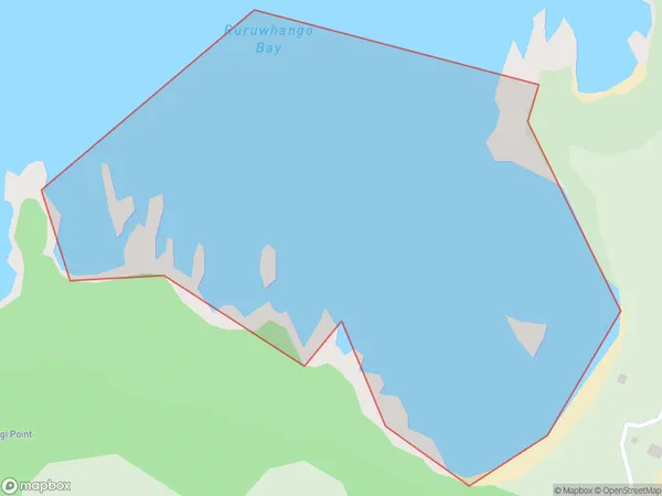
0 people live in Ruruwhango Bay, Waiheke, NZRuruwhango Bay Suburb Area Map (Polygon)
Ruruwhango Bay Introduction
Ruruwhango Bay is a picturesque and tranquil bay located in the Waitakere Ranges, just west of Auckland, New Zealand. It is known for its clear waters, stunning coastal scenery, and diverse marine life, including pods of dolphins and whales. The bay is a popular spot for swimming, kayaking, and fishing, and it is also home to a small community of native birds.Region
Major City
Suburb Name
Ruruwhango BayOther Name(s)
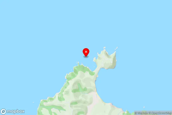
Hauraki GulfRuruwhango Bay Area Map (Street)
Local Authority
AucklandFull Address
Ruruwhango Bay, Auckland, New ZealandAddress Type
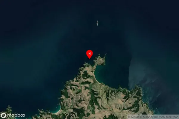
Coastal BayRuruwhango Bay Suburb Map (Satellite)
Country
Main Region in AU
AucklandRuruwhango Bay Region Map

Coordinates
-36.73988,175.165829 (latitude/longitude)Distances
The distance from Ruruwhango Bay, , Auckland to NZ Top 10 Cities