Whaingaroa Harbour Area, Whaingaroa Harbour Postcode(3225) & Map in Whaingaroa Harbour
Whaingaroa Harbour Area, Whaingaroa Harbour Postcode(3225) & Map in Whaingaroa Harbour, Waikato District, New Zealand
Whaingaroa Harbour, Waikato District, New Zealand
Whaingaroa Harbour Postcodes
Whaingaroa Harbour Area (estimated)
-1.2 square kilometersWhaingaroa Harbour Population (estimated)
0 people live in Whaingaroa Harbour, Waikato, NZWhaingaroa Harbour Suburb Area Map (Polygon)
Not available for nowWhaingaroa Harbour Introduction
Whaingaroa Harbour is a sheltered harbor on the west coast of the North Island of New Zealand. It is located in the Waikato region, approximately 100 kilometers south of Hamilton. The harbor is known for its clear waters, sandy beaches, and stunning coastal scenery. It is a popular destination for boating, fishing, and swimming, and is home to a small community of residents. The harbor is also a significant conservation area, with several species of native birds and plants found in the surrounding area.Region
Major City
Suburb Name
Whaingaroa Harbour (Maori Name: Whāingaroa Harbour)Other Name(s)
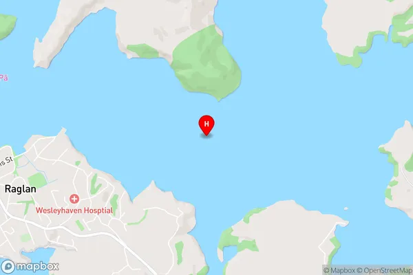
Raglan Harbour, WhaingaroaWhaingaroa Harbour Area Map (Street)
Local Authority
Waikato DistrictFull Address
Whaingaroa Harbour, Waikato District, New ZealandAddress Type
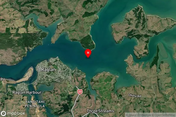
Coastal BayWhaingaroa Harbour Suburb Map (Satellite)
Country
Main Region in AU
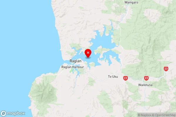
WaikatoWhaingaroa Harbour Region Map
Coordinates
-37.7952867,174.897656 (latitude/longitude)Distances
The distance from Whaingaroa Harbour, , Waikato District to NZ Top 10 Cities