Punaatawake Bay Area, Punaatawake Bay Postcode & Map in Punaatawake Bay
Punaatawake Bay Area, Punaatawake Bay Postcode & Map in Punaatawake Bay, Marlborough District, New Zealand
Punaatawake Bay, Marlborough District, New Zealand
Punaatawake Bay Area (estimated)
0.7 square kilometersPunaatawake Bay Population (estimated)
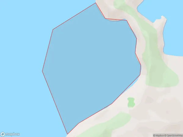
0 people live in Punaatawake Bay, Marlborough, NZPunaatawake Bay Suburb Area Map (Polygon)
Punaatawake Bay Introduction
Punaatawake Bay is a small, shallow bay located in the Marlborough region of New Zealand's South Island. It is known for its clear waters and stunning coastal scenery, including rugged cliffs, picturesque beaches, and lush green forests. The bay is a popular spot for swimming, kayaking, and fishing, and is home to a variety of marine life, including seals, dolphins, and penguins.Region
Suburb Name
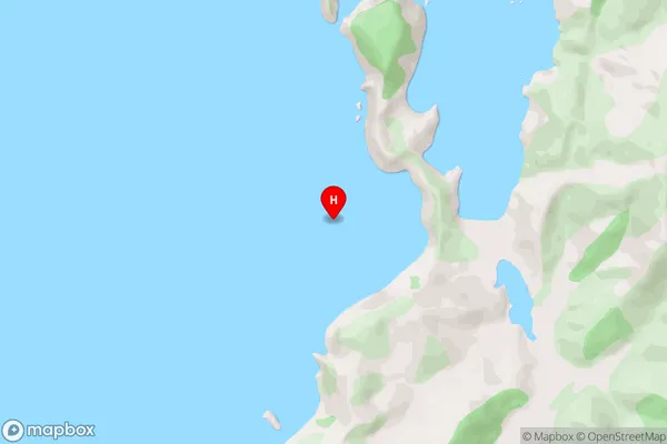
Punaatawake BayPunaatawake Bay Area Map (Street)
Local Authority
Marlborough DistrictFull Address
Punaatawake Bay, Marlborough District, New ZealandAddress Type
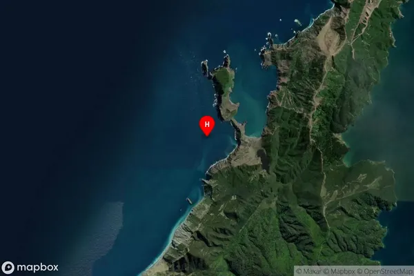
Coastal BayPunaatawake Bay Suburb Map (Satellite)
Country
Main Region in AU
MarlboroughPunaatawake Bay Region Map

Coordinates
-40.7689374,173.8272459 (latitude/longitude)Distances
The distance from Punaatawake Bay, , Marlborough District to NZ Top 10 Cities