Port Ligar Area, Port Ligar Postcode & Map in Port Ligar
Port Ligar Area, Port Ligar Postcode & Map in Port Ligar, Marlborough District, New Zealand
Port Ligar, Marlborough District, New Zealand
Port Ligar Area (estimated)
9.6 square kilometersPort Ligar Population (estimated)
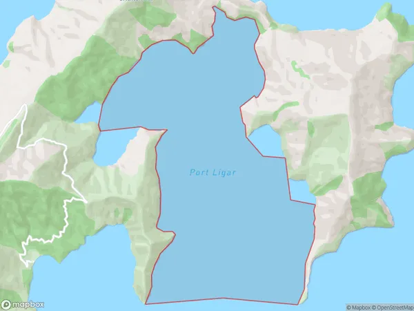
0 people live in Port Ligar, Marlborough, NZPort Ligar Suburb Area Map (Polygon)
Port Ligar Introduction
Port Ligar is a small coastal settlement in Marlborough, New Zealand. It is located on the southern coast of the Marlborough Sounds, and is known for its scenic views, peaceful atmosphere, and fishing industry. The settlement has a population of around 100 people and is surrounded by lush green farmland and picturesque vineyards. Port Ligar is also home to a small marina, which provides a base for recreational fishing and boating activities.Region
Suburb Name
Port LigarOther Name(s)
Waitata Reach (Maori Name: Waitātā Reach)Port Ligar Area Map (Street)

Local Authority
Marlborough DistrictFull Address
Port Ligar, Marlborough District, New ZealandAddress Type
Coastal BayPort Ligar Suburb Map (Satellite)

Country
Main Region in AU
MarlboroughPort Ligar Region Map

Coordinates
-40.9274672,173.983269241507 (latitude/longitude)Distances
The distance from Port Ligar, , Marlborough District to NZ Top 10 Cities