Pelorus Sound / Te Hoiere Area, Pelorus Sound / Te Hoiere Postcode & Map in Pelorus Sound / Te Hoiere
Pelorus Sound / Te Hoiere Area, Pelorus Sound / Te Hoiere Postcode & Map in Pelorus Sound / Te Hoiere, Marlborough District,
Pelorus Sound / Te Hoiere, Marlborough District,
Pelorus Sound / Te Hoiere Area (estimated)
63.9 square kilometersPelorus Sound / Te Hoiere Population (estimated)
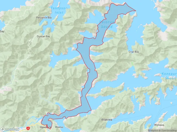
2 people live in Pelorus Sound / Te Hoiere, Brighton, NZPelorus Sound / Te Hoiere Suburb Area Map (Polygon)
Region
Major City
Suburb Name
Pelorus Sound / Te HoiereOther Name(s)
Tawhitinui ReachPelorus Sound / Te Hoiere Area Map (Street)
Local Authority
Marlborough DistrictFull Address
Pelorus Sound / Te Hoiere, Marlborough District,Address Type
Coastal BayPelorus Sound / Te Hoiere Suburb Map (Satellite)
Country
Main Region in AU
OtagoPelorus Sound / Te Hoiere Region Map
Coordinates
0,0 (latitude/longitude)Distances
The distance from Pelorus Sound / Te Hoiere, , Marlborough District to NZ Top 10 Cities