Peachgrove Bay Area, Peachgrove Bay Postcode & Map in Peachgrove Bay
Peachgrove Bay Area, Peachgrove Bay Postcode & Map in Peachgrove Bay, Area outside Territorial Authority, New Zealand
Peachgrove Bay, Area outside Territorial Authority, New Zealand
Peachgrove Bay Area (estimated)
0.5 square kilometersPeachgrove Bay Population (estimated)
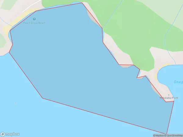
0 people live in Peachgrove Bay, Waikato, NZPeachgrove Bay Suburb Area Map (Polygon)
Peachgrove Bay Introduction
Peachgrove Bay is a small bay located on the western coast of the North Island of New Zealand, in the Waikato region. It is known for its peaceful atmosphere, stunning natural beauty, and popular beach. The bay is surrounded by lush green hills and offers a range of recreational activities, including swimming, fishing, and hiking. It is also a popular spot for boaties and water sports enthusiasts.Region
Suburb Name
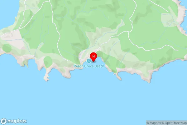
Peachgrove BayPeachgrove Bay Area Map (Street)
Local Authority
Area outside Territorial AuthorityFull Address
Peachgrove Bay, Area outside Territorial Authority, New ZealandAddress Type
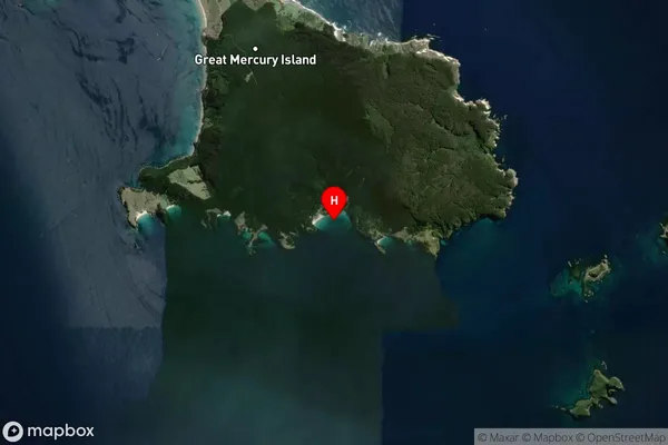
Coastal BayPeachgrove Bay Suburb Map (Satellite)
Country
Main Region in AU
WaikatoPeachgrove Bay Region Map

Coordinates
-36.6375548,175.8080961 (latitude/longitude)Distances
The distance from Peachgrove Bay, , Area outside Territorial Authority to NZ Top 10 Cities