Papatara Bay / Horseshoe Bay Area, Papatara Bay / Horseshoe Bay Postcode & Map in Papatara Bay / Horseshoe Bay
Papatara Bay / Horseshoe Bay Area, Papatara Bay / Horseshoe Bay Postcode & Map in Papatara Bay / Horseshoe Bay, Area outside Territorial Authority, New Zealand
Papatara Bay / Horseshoe Bay, Area outside Territorial Authority, New Zealand
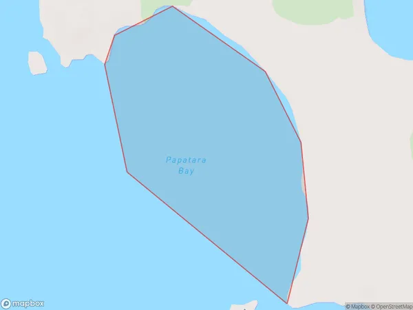
Papatara Bay / Horseshoe Bay Area (estimated)
0.3 square kilometersPapatara Bay / Horseshoe Bay Population (estimated)
0 people live in Papatara Bay / Horseshoe Bay, Northland, NZPapatara Bay / Horseshoe Bay Suburb Area Map (Polygon)
Papatara Bay / Horseshoe Bay Introduction
Papatara Bay / Horseshoe Bay is located in the Far North District of Northland, New Zealand. It is a popular tourist destination known for its stunning natural beauty, including crystal-clear waters, white sand beaches, and rugged cliffs. The bay is also home to a variety of marine life, including dolphins, whales, and seals. Visitors can enjoy swimming, snorkeling, kayaking, and fishing in the bay, as well as exploring the nearby hiking trails and historic sites.Region
Suburb Name
Papatara Bay / Horseshoe BayOther Name(s)
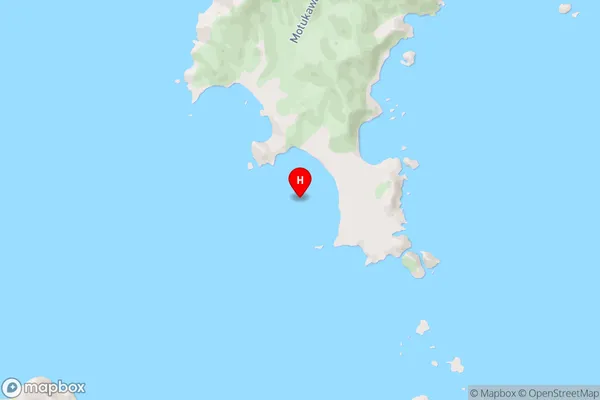
Cavalli Passage, Horseshoe Bay, Papatara BayPapatara Bay / Horseshoe Bay Area Map (Street)
Local Authority
Area outside Territorial AuthorityFull Address
Papatara Bay / Horseshoe Bay, Area outside Territorial Authority, New ZealandAddress Type
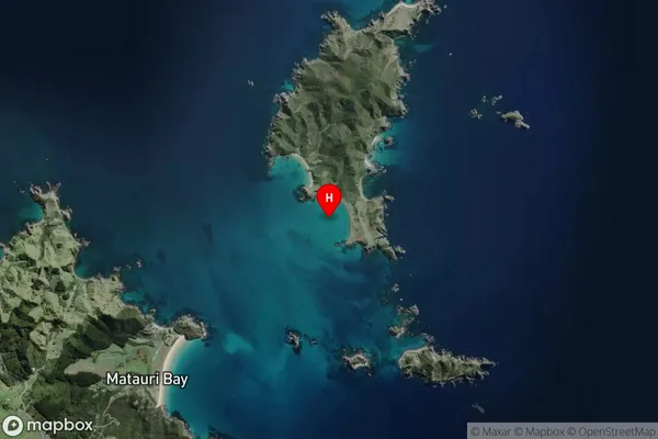
Coastal BayPapatara Bay / Horseshoe Bay Suburb Map (Satellite)
Country
Main Region in AU
NorthlandPapatara Bay / Horseshoe Bay Region Map

Coordinates
-35.0135016,173.9396132 (latitude/longitude)Distances
The distance from Papatara Bay / Horseshoe Bay, , Area outside Territorial Authority to NZ Top 10 Cities