Pahurehure Inlet Area, Pahurehure Inlet Postcode(2025) & Map in Pahurehure Inlet
Pahurehure Inlet Area, Pahurehure Inlet Postcode(2025) & Map in Pahurehure Inlet, Auckland, New Zealand
Pahurehure Inlet, Auckland, New Zealand
Pahurehure Inlet Postcodes
Pahurehure Inlet Area (estimated)
-1.2 square kilometersPahurehure Inlet Population (estimated)
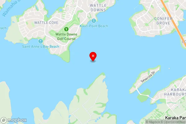
0 people live in Pahurehure Inlet, Manurewa, NZPahurehure Inlet Suburb Area Map (Polygon)
Not available for nowPahurehure Inlet Introduction
Pahurehure Inlet is a small, shallow inlet of the Hauraki Gulf in Auckland, New Zealand. It is known for its beautiful beaches, native forests, and historic pa sites. The inlet is a popular spot for swimming, kayaking, and fishing, and is home to a variety of bird species. The surrounding area is also home to several important archaeological sites, including the Pahurehure archaeological complex, which is believed to be over 1,000 years old.Region
Major City
Suburb Name
Pahurehure InletOther Name(s)
Manukau HarbourPahurehure Inlet Area Map (Street)
Local Authority
AucklandFull Address
Pahurehure Inlet, Auckland, New ZealandAddress Type
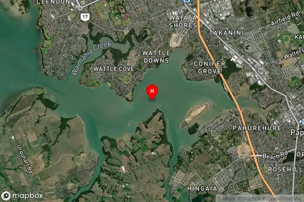
Coastal BayPahurehure Inlet Suburb Map (Satellite)
Country
Main Region in AU
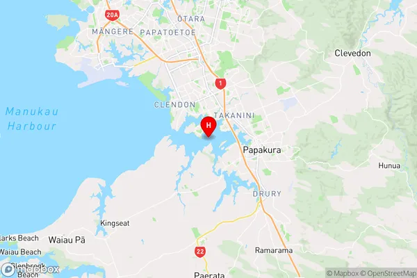
AucklandPahurehure Inlet Region Map
Coordinates
-37.05880245,174.894336323582 (latitude/longitude)Distances
The distance from Pahurehure Inlet, , Auckland to NZ Top 10 Cities