North Fiord Area, North Fiord Postcode & Map in North Fiord
North Fiord Area, North Fiord Postcode & Map in North Fiord, Southland District,
North Fiord, Southland District,
North Fiord Area (estimated)
22.7 square kilometersNorth Fiord Population (estimated)
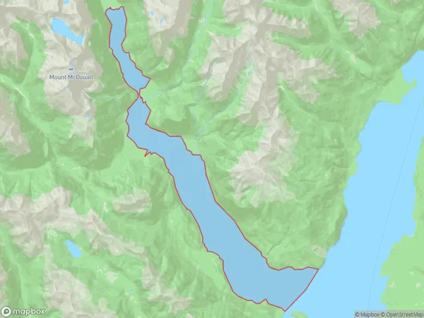
0 people live in North Fiord, Brighton, NZNorth Fiord Suburb Area Map (Polygon)
North Fiord Introduction
North Fiord is a fjord in the southern South Island of New Zealand. It is located in the Otago region, within the Fiordland National Park. North Fiord is surrounded by stunning mountain scenery, including the peaks of Mount Te Anau and Mount Luxmore. The fjord is accessible by a scenic road that winds its way through the park. Visitors can enjoy hiking, fishing, and kayaking in the fjord, as well as exploring the nearby glaciers and wildlife.Region
Major City
Suburb Name
North FiordOther Name(s)
Lake Te AnauNorth Fiord Area Map (Street)
Local Authority
Southland DistrictFull Address
North Fiord, Southland District,Address Type
Inland BayNorth Fiord Suburb Map (Satellite)
Country
Main Region in AU
OtagoNorth Fiord Region Map
Coordinates
0,0 (latitude/longitude)Distances
The distance from North Fiord, , Southland District to NZ Top 10 Cities