McGregors Bay Area, McGregors Bay Postcode & Map in McGregors Bay
McGregors Bay Area, McGregors Bay Postcode & Map in McGregors Bay, Whangarei District, New Zealand
McGregors Bay, Whangarei District, New Zealand
McGregors Bay Area (estimated)
-1.2 square kilometersMcGregors Bay Population (estimated)
0 people live in McGregors Bay, Northland, NZMcGregors Bay Suburb Area Map (Polygon)
Not available for nowMcGregors Bay Introduction
McGregors Bay is a picturesque bay located in the Northland region of New Zealand. It is known for its stunning natural beauty, including rugged cliffs, crystal-clear waters, and a diverse range of marine life. The bay is a popular spot for fishing, kayaking, and snorkeling, and it is also home to a small community of residents. The bay is surrounded by lush forested hills and is located near the town of Kaitaia.Region
Suburb Name
McGregors BayOther Name(s)
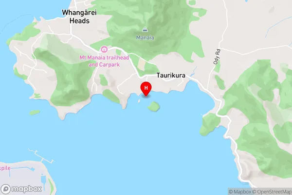
Bream BayMcGregors Bay Area Map (Street)
Local Authority
Whangarei DistrictFull Address
McGregors Bay, Whangarei District, New ZealandAddress Type
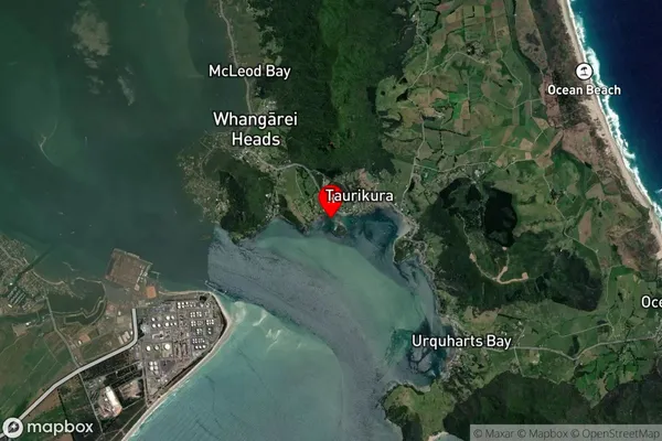
Coastal BayMcGregors Bay Suburb Map (Satellite)
Country
Main Region in AU
NorthlandMcGregors Bay Region Map

Coordinates
-35.8280046,174.5171603 (latitude/longitude)Distances
The distance from McGregors Bay, , Whangarei District to NZ Top 10 Cities