Manuhakapakapa Area, Manuhakapakapa Postcode & Map in Manuhakapakapa
Manuhakapakapa Area, Manuhakapakapa Postcode & Map in Manuhakapakapa, Marlborough District, New Zealand
Manuhakapakapa, Marlborough District, New Zealand
Manuhakapakapa Area (estimated)
-1.2 square kilometersManuhakapakapa Population (estimated)
0 people live in Manuhakapakapa, Marlborough, NZManuhakapakapa Suburb Area Map (Polygon)
Not available for nowManuhakapakapa Introduction
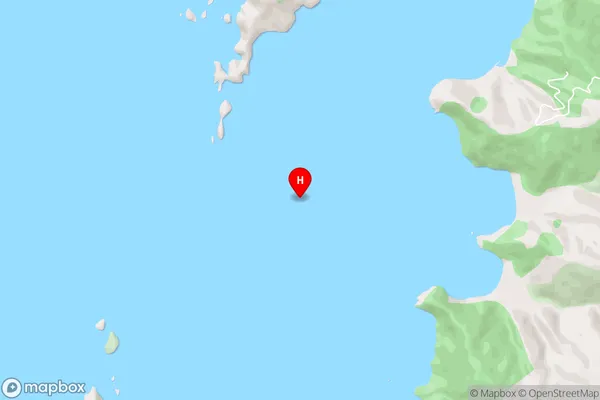
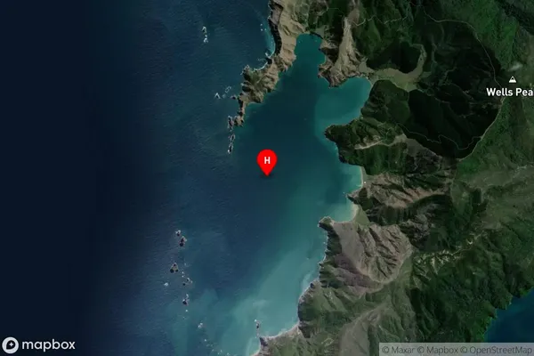
Manuhakapakapa is a small bay and beach located in the Marlborough region of New Zealand's South Island. It is known for its stunning natural beauty, including rugged cliffs, crystal-clear waters, and a variety of marine life. The bay is a popular spot for swimming, kayaking, and fishing, and it is also home to a small community of people who live in the surrounding areas.Region
Suburb Name
ManuhakapakapaManuhakapakapa Area Map (Street)
Local Authority
Marlborough DistrictFull Address
Manuhakapakapa, Marlborough District, New ZealandAddress Type
Coastal BayManuhakapakapa Suburb Map (Satellite)
Country
Main Region in AU
MarlboroughManuhakapakapa Region Map

Coordinates
-40.9030597,173.7777502 (latitude/longitude)Distances
The distance from Manuhakapakapa, , Marlborough District to NZ Top 10 Cities