Manutahi Area, Manutahi Postcode(4672) & Map in Manutahi
Manutahi Area, Manutahi Postcode(4672) & Map in Manutahi, South Taranaki District, New Zealand
Manutahi, South Taranaki District, New Zealand
Manutahi Postcodes
Manutahi Area (estimated)
54.8 square kilometersManutahi Population (estimated)
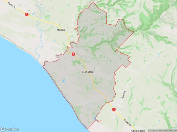
238 people live in Manutahi, Taranaki, NZManutahi Suburb Area Map (Polygon)
Manutahi Introduction
Manutahi is a small rural town in Patea, Taranaki, New Zealand. It is known for its beautiful coastal scenery, historic buildings, and strong community spirit. The town has a population of around 1,000 people and is located on the banks of the Patea River, about 30 minutes' drive from Patea town center. The area is rich in agricultural land and is known for its produce, including apples, pears, and kiwifruit. Manutahi also has a historic church, a primary school, and a community hall. The town is surrounded by stunning natural scenery, including the Taranaki Coastal Walkway, and is a popular destination for outdoor enthusiasts and tourists.Region
Major City
Suburb Name
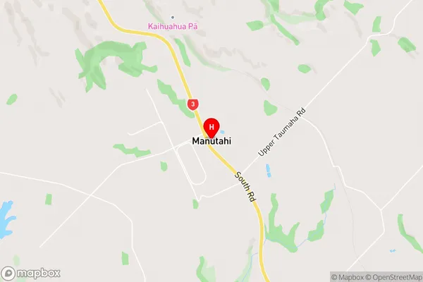
ManutahiManutahi Area Map (Street)
Local Authority
South Taranaki DistrictFull Address
Manutahi, South Taranaki District, New ZealandAddress Type
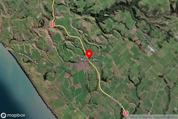
Locality in Town PateaManutahi Suburb Map (Satellite)
Country
Main Region in AU
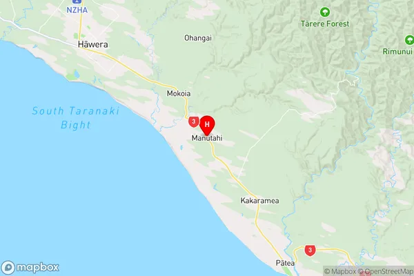
TaranakiManutahi Region Map
Coordinates
-39.6611989,174.3973978 (latitude/longitude)Distances
The distance from Manutahi, Patea, South Taranaki District to NZ Top 10 Cities