Bulling Bay Area, Bulling Bay Postcode & Map in Bulling Bay
Bulling Bay Area, Bulling Bay Postcode & Map in Bulling Bay, Area outside Territorial Authority, New Zealand
Bulling Bay, Area outside Territorial Authority, New Zealand
Bulling Bay Area (estimated)
0.0 square kilometersBulling Bay Population (estimated)
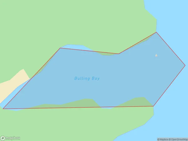
0 people live in Bulling Bay, Southland, NZBulling Bay Suburb Area Map (Polygon)

Bulling Bay Introduction
Buller Bay is a small settlement in Southland, New Zealand. It is located on the western coast of the South Island, near the mouth of the Buller River. The area is known for its scenic beauty, with rugged cliffs, sandy beaches, and dense forests. Buller Bay is a popular destination for outdoor activities such as hiking, fishing, and kayaking. The settlement has a small population of around 100 people and is home to a primary school and a community hall.Region
Suburb Name
Bulling BayOther Name(s)
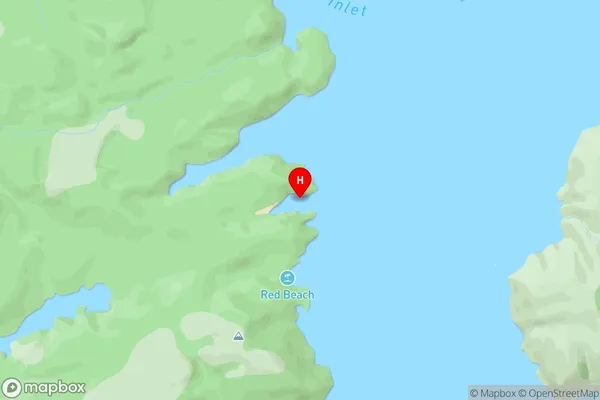
North Arm, Port Pegasus / PikihatitiBulling Bay Area Map (Street)

Local Authority
Area outside Territorial AuthorityFull Address
Bulling Bay, Area outside Territorial Authority, New ZealandAddress Type
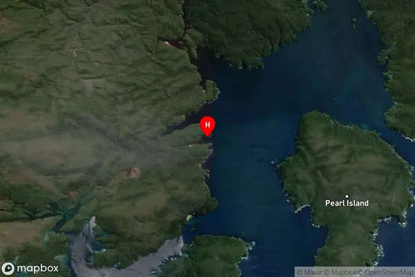
Coastal BayBulling Bay Suburb Map (Satellite)

Country
Main Region in AU
SouthlandBulling Bay Region Map

Coordinates
-47.18252965,167.672751710922 (latitude/longitude)Distances
The distance from Bulling Bay, , Area outside Territorial Authority to NZ Top 10 Cities