Woodside Bay Area, Woodside Bay Postcode(1971) & Map in Woodside Bay
Woodside Bay Area, Woodside Bay Postcode(1971) & Map in Woodside Bay, Auckland, New Zealand
Woodside Bay, Auckland, New Zealand
Woodside Bay Postcodes
Woodside Bay Area (estimated)
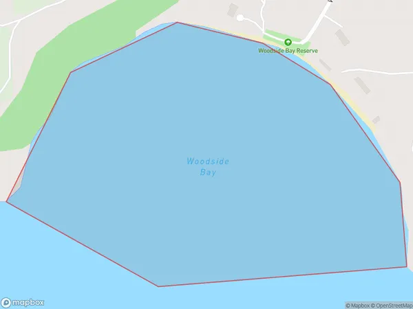
0.4 square kilometersWoodside Bay Population (estimated)
0 people live in Woodside Bay, Waiheke, NZWoodside Bay Suburb Area Map (Polygon)
Woodside Bay Introduction
Woodside Bay is a suburban beachside community in Auckland, New Zealand. It is known for its peaceful atmosphere, scenic beaches, and vibrant community. The area has a variety of housing options, from luxury homes to affordable apartments, and is popular with families, retirees, and young professionals. Woodside Bay is located approximately 20 kilometers from Auckland's central business district and is easily accessible by public transportation. It is also home to a number of parks, including Woodside Bay Park and Marine Reserve, which offer a range of recreational activities, including walking, cycling, and fishing.Region
Major City
Suburb Name
Woodside BayOther Name(s)
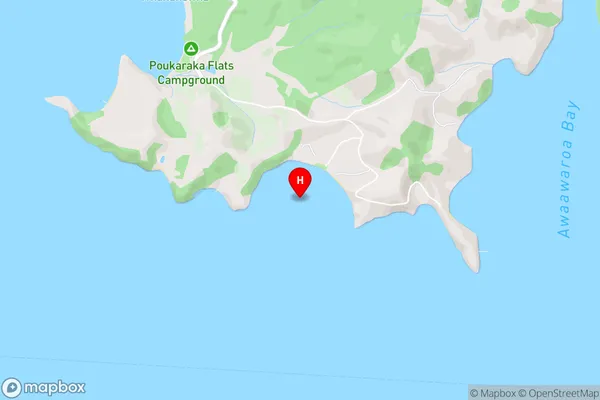
Hauraki GulfWoodside Bay Area Map (Street)
Local Authority
AucklandFull Address
Woodside Bay, Auckland, New ZealandAddress Type
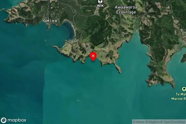
Coastal BayWoodside Bay Suburb Map (Satellite)
Country
Main Region in AU
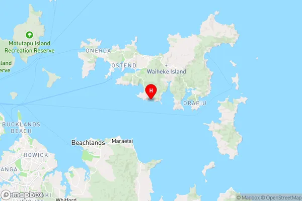
AucklandWoodside Bay Region Map
Coordinates
-36.8364225,175.0818651 (latitude/longitude)Distances
The distance from Woodside Bay, , Auckland to NZ Top 10 Cities