Wharehunga Bay Area, Wharehunga Bay Postcode & Map in Wharehunga Bay
Wharehunga Bay Area, Wharehunga Bay Postcode & Map in Wharehunga Bay, Marlborough District, New Zealand
Wharehunga Bay, Marlborough District, New Zealand
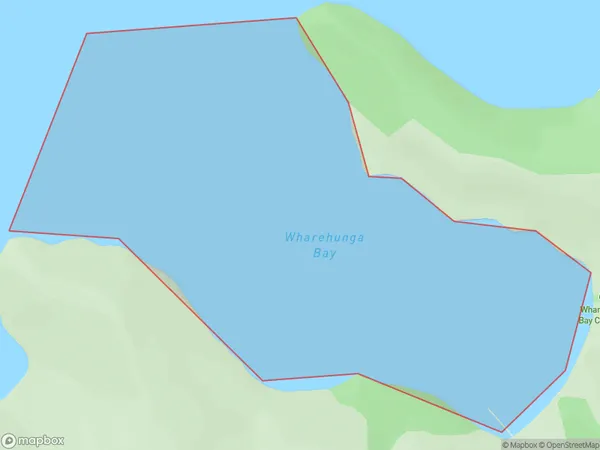
Wharehunga Bay Area (estimated)
0.6 square kilometersWharehunga Bay Population (estimated)
0 people live in Wharehunga Bay, Marlborough, NZWharehunga Bay Suburb Area Map (Polygon)
Wharehunga Bay Introduction
Wharehunga Bay is a popular beach in Marlborough, New Zealand. It is known for its golden sand, clear waters, and stunning coastal views. The bay is a popular spot for swimming, sunbathing, and water sports such as kayaking and paddleboarding. It is also home to a small community of residents and a popular fishing spot. The bay is surrounded by picturesque farmland and the Marlborough Sounds, making it a popular destination for nature lovers and outdoor enthusiasts.Region
Suburb Name
Wharehunga BayOther Name(s)
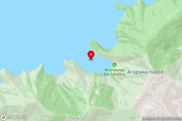
Queen Charlotte Sound (Totaranui)Wharehunga Bay Area Map (Street)
Local Authority
Marlborough DistrictFull Address
Wharehunga Bay, Marlborough District, New ZealandAddress Type
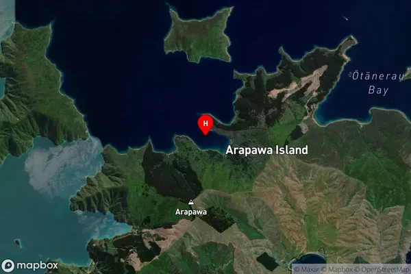
Coastal BayWharehunga Bay Suburb Map (Satellite)
Country
Main Region in AU
MarlboroughWharehunga Bay Region Map

Coordinates
-41.1792684,174.2837165 (latitude/longitude)Distances
The distance from Wharehunga Bay, , Marlborough District to NZ Top 10 Cities