Whangaruru Bay Area, Whangaruru Bay Postcode & Map in Whangaruru Bay
Whangaruru Bay Area, Whangaruru Bay Postcode & Map in Whangaruru Bay, Area outside Territorial Authority, New Zealand
Whangaruru Bay, Area outside Territorial Authority, New Zealand
Whangaruru Bay Area (estimated)
-1.2 square kilometersWhangaruru Bay Population (estimated)
0 people live in Whangaruru Bay, Northland, NZWhangaruru Bay Suburb Area Map (Polygon)
Not available for nowWhangaruru Bay Introduction
Whangaruru Bay is a popular holiday destination in Northland, New Zealand. It is known for its crystal-clear waters, sandy beaches, and stunning coastal scenery. The bay is also a popular spot for water sports such as kayaking, paddleboarding, and snorkeling. Visitors can also explore the nearby Whangaruru National Park, which is home to a variety of native birds and animals.Region
Suburb Name
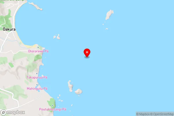
Whangaruru BayWhangaruru Bay Area Map (Street)
Local Authority
Area outside Territorial AuthorityFull Address
Whangaruru Bay, Area outside Territorial Authority, New ZealandAddress Type
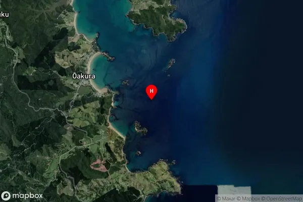
Coastal BayWhangaruru Bay Suburb Map (Satellite)
Country
Main Region in AU
NorthlandWhangaruru Bay Region Map

Coordinates
-35.396374,174.3655186 (latitude/longitude)Distances
The distance from Whangaruru Bay, , Area outside Territorial Authority to NZ Top 10 Cities