Whangamumu Harbour Area, Whangamumu Harbour Postcode & Map in Whangamumu Harbour
Whangamumu Harbour Area, Whangamumu Harbour Postcode & Map in Whangamumu Harbour, Area outside Territorial Authority, New Zealand
Whangamumu Harbour, Area outside Territorial Authority, New Zealand
Whangamumu Harbour Area (estimated)
-1.2 square kilometersWhangamumu Harbour Population (estimated)
0 people live in Whangamumu Harbour, Northland, NZWhangamumu Harbour Suburb Area Map (Polygon)
Not available for nowWhangamumu Harbour Introduction
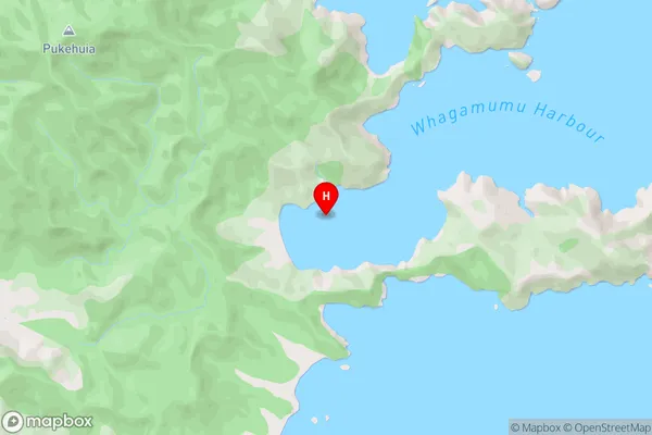
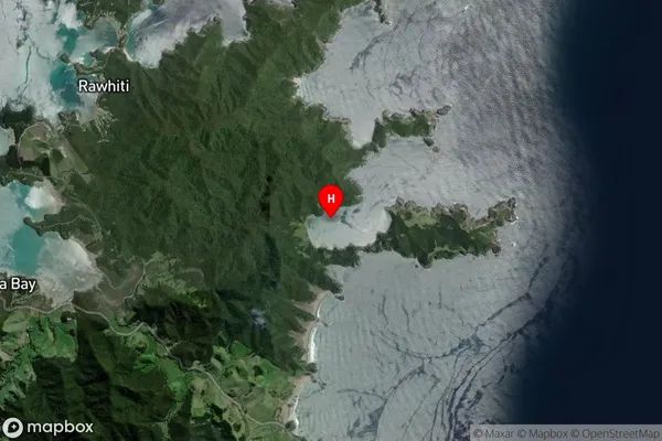
Whangamumu Harbour is a sheltered harbor on the Northland coast of New Zealand. It is known for its clear waters and sandy beaches, and is a popular destination for boating, fishing, and swimming. The harbor is also home to a large population of New Zealand fur seals, and is a major tourist attraction.Region
Suburb Name
Whangamumu HarbourWhangamumu Harbour Area Map (Street)
Local Authority
Area outside Territorial AuthorityFull Address
Whangamumu Harbour, Area outside Territorial Authority, New ZealandAddress Type
Coastal BayWhangamumu Harbour Suburb Map (Satellite)
Country
Main Region in AU
NorthlandWhangamumu Harbour Region Map

Coordinates
-35.250167,174.2965 (latitude/longitude)Distances
The distance from Whangamumu Harbour, , Area outside Territorial Authority to NZ Top 10 Cities