Whalers Base Area, Whalers Base Postcode & Map in Whalers Base
Whalers Base Area, Whalers Base Postcode & Map in Whalers Base, Area outside Territorial Authority, New Zealand
Whalers Base, Area outside Territorial Authority, New Zealand
Whalers Base Area (estimated)
0.0 square kilometersWhalers Base Population (estimated)
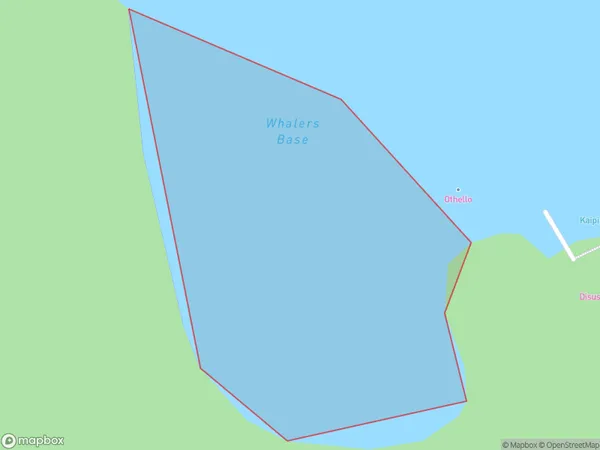
0 people live in Whalers Base, Southland, NZWhalers Base Suburb Area Map (Polygon)
Whalers Base Introduction
Whalers Base is a historic site in Southland, New Zealand, that was once a bustling whaling station. It is now a popular tourist attraction and a UNESCO World Heritage Site. The base was established in 1840 and operated for over 70 years, during which time it processed over 1000 whales. The site includes a number of historic buildings, such as the whaling factory, manager's house, and chapel. It also has a museum that showcases the history of whaling in New Zealand and the impact it had on the local culture and economy.Region
Suburb Name
Whalers BaseOther Name(s)
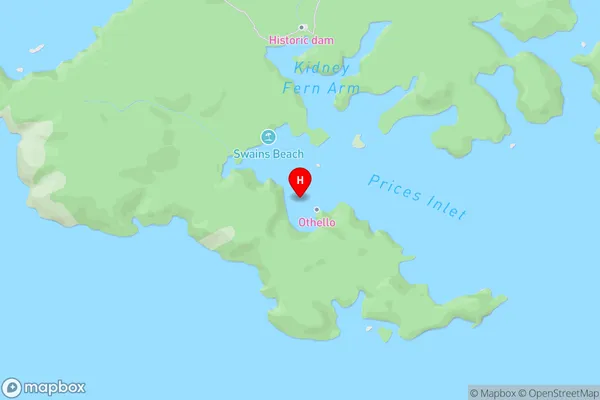
Prices Inlet, Paterson Inlet/Whaka a Te WeraWhalers Base Area Map (Street)
Local Authority
Area outside Territorial AuthorityFull Address
Whalers Base, Area outside Territorial Authority, New ZealandAddress Type
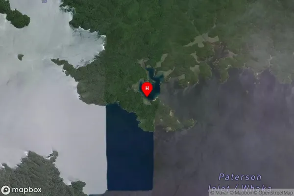
Coastal BayWhalers Base Suburb Map (Satellite)
Country
Main Region in AU
SouthlandWhalers Base Region Map

Coordinates
-46.9116892,168.0460897 (latitude/longitude)Distances
The distance from Whalers Base, , Area outside Territorial Authority to NZ Top 10 Cities