Manukau Area, Manukau Postcode(2104) & Map in Manukau
Manukau Area, Manukau Postcode(2104) & Map in Manukau, Auckland, New Zealand
Manukau, Auckland, New Zealand
Manukau Area (estimated)
3.7 square kilometersManukau Population (estimated)
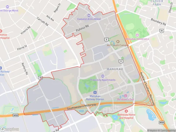
3037 people live in Manukau, Ōtara-Papatoetoe, NZManukau Suburb Area Map (Polygon)
Manukau Introduction
Manukau is a city in Auckland, New Zealand, and is the second-largest in the country. It is known for its large Polynesian population and is home to the Auckland International Airport. The city has a number of shopping malls, parks, and recreational facilities, and is located about 20 kilometers south of Auckland City.Region
Major City
Suburb Name
ManukauOther Name(s)
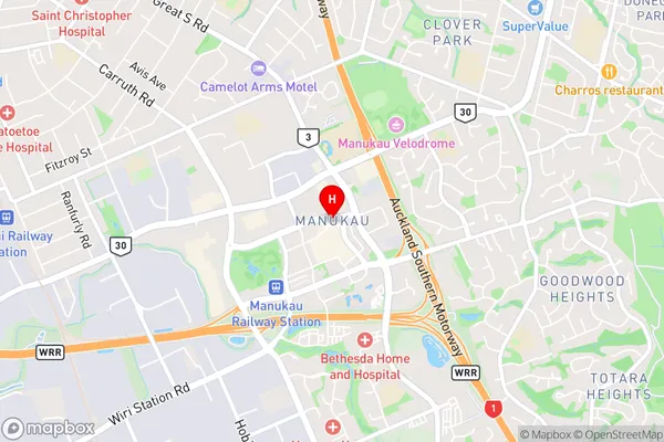
Manukau CentralManukau Area Map (Street)
Local Authority
AucklandFull Address
Manukau, Auckland, New ZealandAddress Type
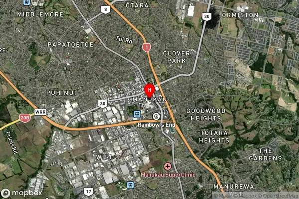
Suburb in City AucklandManukau Suburb Map (Satellite)
Country
Main Region in AU
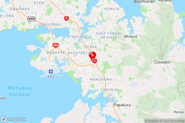
AucklandManukau Region Map
Coordinates
-36.9899509,174.8813168 (latitude/longitude)Distances
The distance from Manukau, Auckland, Auckland to NZ Top 10 Cities