West Arm Area, West Arm Postcode(9643) & Map in West Arm
West Arm Area, West Arm Postcode(9643) & Map in West Arm, Southland District, New Zealand
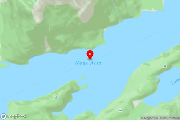
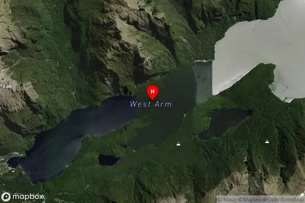
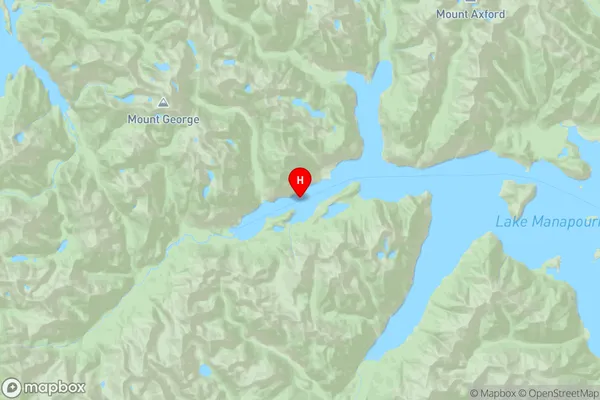
West Arm, Southland District, New Zealand
West Arm Postcodes
West Arm Area (estimated)
-1.2 square kilometersWest Arm Population (estimated)
0 people live in West Arm, Fiordland Community, NZWest Arm Suburb Area Map (Polygon)
Not available for nowWest Arm Introduction
West Arm is a small settlement in Southland, New Zealand. It is located on State Highway 6, 12 km south of Gore and 11 km north of Lumsden. The area was first settled in the 1860s by Scottish and Irish settlers. The West Arm Power Station, a hydroelectric power station, is located in the settlement. The West Arm River, which flows into the Clutha River, runs through the settlement.Region
Major City
Suburb Name
West ArmOther Name(s)
Lake ManapouriWest Arm Area Map (Street)
Local Authority
Southland DistrictFull Address
West Arm, Southland District, New ZealandAddress Type
Inland BayWest Arm Suburb Map (Satellite)
Country
Main Region in AU
SouthlandWest Arm Region Map
Coordinates
-45.50877015,167.323617184069 (latitude/longitude)Distances
The distance from West Arm, , Southland District to NZ Top 10 Cities