Waituna Bay Area, Waituna Bay Postcode & Map in Waituna Bay
Waituna Bay Area, Waituna Bay Postcode & Map in Waituna Bay, Area outside Territorial Authority, New Zealand
Waituna Bay, Area outside Territorial Authority, New Zealand
Waituna Bay Area (estimated)
1.7 square kilometersWaituna Bay Population (estimated)
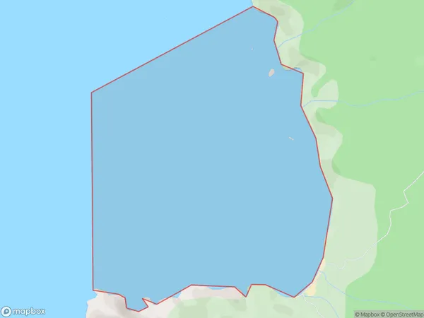
0 people live in Waituna Bay, Southland, NZWaituna Bay Suburb Area Map (Polygon)
Waituna Bay Introduction
Waituna Bay is a popular destination for tourists in Southland, New Zealand. It is located on the southern coast of the South Island and is known for its stunning natural beauty, including crystal-clear waters, rugged cliffs, and lush forests. The bay is also home to a variety of wildlife, including seals, dolphins, and penguins. Visitors can enjoy a range of activities in the area, such as swimming, hiking, kayaking, and fishing. The bay is also a popular filming location, with several movies and TV shows having been shot there over the years.Region
Suburb Name
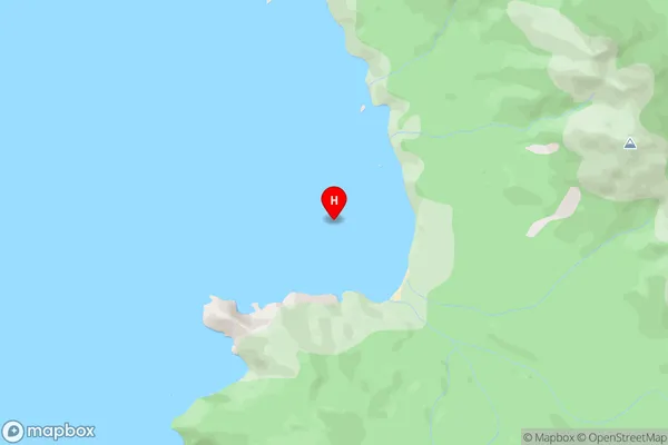
Waituna BayWaituna Bay Area Map (Street)
Local Authority
Area outside Territorial AuthorityFull Address
Waituna Bay, Area outside Territorial Authority, New ZealandAddress Type
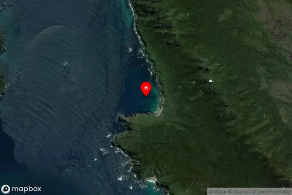
Coastal BayWaituna Bay Suburb Map (Satellite)
Country
Main Region in AU
SouthlandWaituna Bay Region Map

Coordinates
-46.7848115,167.7128535 (latitude/longitude)Distances
The distance from Waituna Bay, , Area outside Territorial Authority to NZ Top 10 Cities