Waitai Bay Area, Waitai Bay Postcode & Map in Waitai Bay
Waitai Bay Area, Waitai Bay Postcode & Map in Waitai Bay, Marlborough District, New Zealand
Waitai Bay, Marlborough District, New Zealand
Waitai Bay Area (estimated)
0.1 square kilometersWaitai Bay Population (estimated)
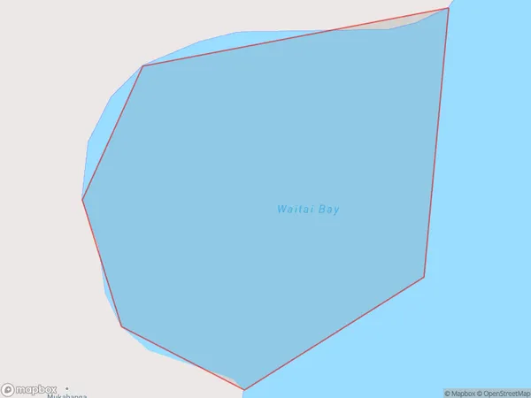
0 people live in Waitai Bay, Marlborough, NZWaitai Bay Suburb Area Map (Polygon)
Waitai Bay Introduction
Waitai Bay is a popular beach in Marlborough, New Zealand. It is known for its crystal-clear waters, white sand, and stunning coastal views. The bay is a popular spot for swimming, kayaking, and fishing, and it is surrounded by lush green hills and vineyards. The bay has a peaceful and tranquil atmosphere, and it is a popular destination for tourists and locals alike.Region
Suburb Name
Waitai BayOther Name(s)
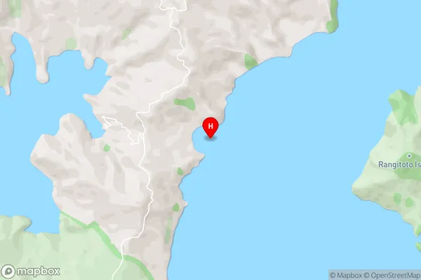
Rangitoto RoadsWaitai Bay Area Map (Street)
Local Authority
Marlborough DistrictFull Address
Waitai Bay, Marlborough District, New ZealandAddress Type
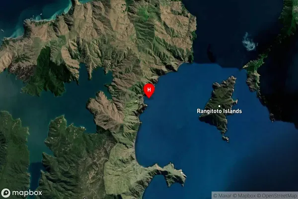
Coastal BayWaitai Bay Suburb Map (Satellite)
Country
Main Region in AU
MarlboroughWaitai Bay Region Map

Coordinates
-40.7748831,173.9444687 (latitude/longitude)Distances
The distance from Waitai Bay, , Marlborough District to NZ Top 10 Cities