Wairoa Bay Area, Wairoa Bay Postcode(0247) & Map in Wairoa Bay
Wairoa Bay Area, Wairoa Bay Postcode(0247) & Map in Wairoa Bay, Far North District, New Zealand
Wairoa Bay, Far North District, New Zealand
Wairoa Bay Postcodes
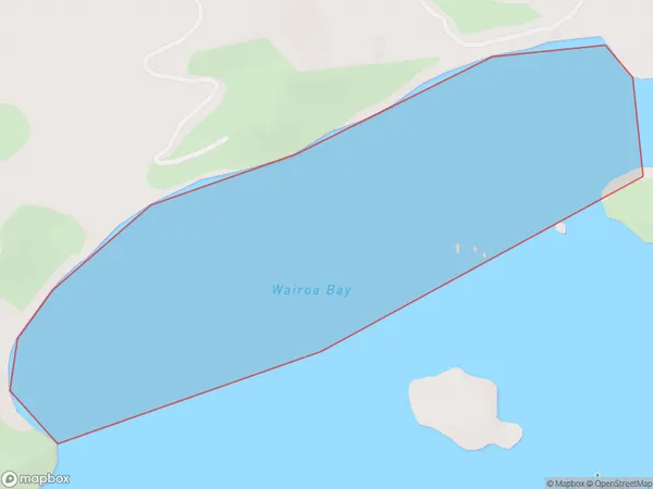
Wairoa Bay Area (estimated)
0.6 square kilometersWairoa Bay Population (estimated)
0 people live in Wairoa Bay, Bay of Islands-Whangaroa Community, NZWairoa Bay Suburb Area Map (Polygon)
Wairoa Bay Introduction
Wairoa Bay is a picturesque bay located in the Northland region of New Zealand. It is known for its stunning natural beauty, including rugged cliffs, pristine beaches, and a rich marine ecosystem. The bay is a popular destination for outdoor activities such as hiking, kayaking, and fishing, and is home to a variety of native species, including birds and marine mammals.Region
Major City
Suburb Name
Wairoa BayOther Name(s)
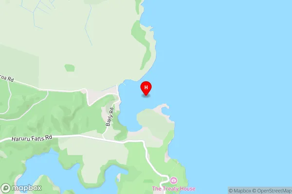
Bay Of IslandsWairoa Bay Area Map (Street)
Local Authority
Far North DistrictFull Address
Wairoa Bay, Far North District, New ZealandAddress Type
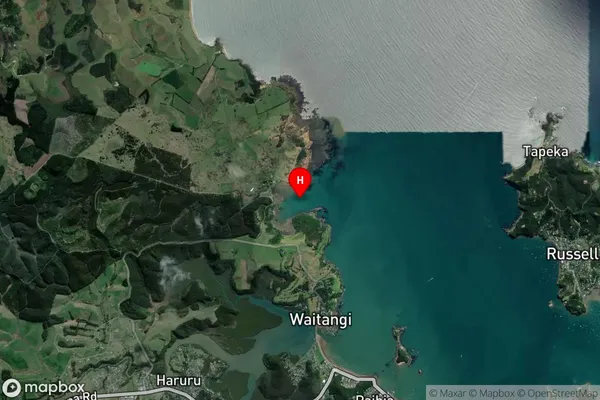
Coastal BayWairoa Bay Suburb Map (Satellite)
Country
Main Region in AU
NorthlandWairoa Bay Region Map

Coordinates
-35.2537235,174.0768925 (latitude/longitude)Distances
The distance from Wairoa Bay, , Far North District to NZ Top 10 Cities