Waipao Bay Area, Waipao Bay Postcode & Map in Waipao Bay
Waipao Bay Area, Waipao Bay Postcode & Map in Waipao Bay, Far North District, New Zealand
Waipao Bay, Far North District, New Zealand
Waipao Bay Area (estimated)
0.0 square kilometersWaipao Bay Population (estimated)
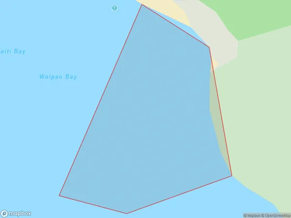
0 people live in Waipao Bay, Bay of Islands-Whangaroa Community, NZWaipao Bay Suburb Area Map (Polygon)
Waipao Bay Introduction
Waipao Bay is a picturesque bay located in the Northland region of New Zealand. It is known for its crystal-clear waters, stunning coastal scenery, and rich cultural heritage. The bay is a popular destination for fishing, kayaking, and hiking, and is home to a small community of residents. The area has a rich history, with evidence of early Māori settlement dating back thousands of years. Waipao Bay is also home to a historic lighthouse, which was built in 1884 to guide ships into the bay.Region
Major City
Suburb Name
Waipao BayOther Name(s)
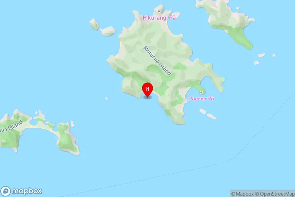
Te Rawhiti Inlet, Bay Of IslandsWaipao Bay Area Map (Street)
Local Authority
Far North DistrictFull Address
Waipao Bay, Far North District, New ZealandAddress Type
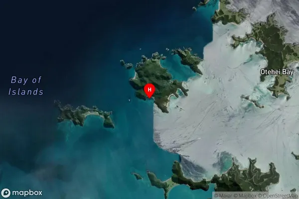
Coastal BayWaipao Bay Suburb Map (Satellite)
Country
Main Region in AU
NorthlandWaipao Bay Region Map

Coordinates
-35.2285411,174.1889681 (latitude/longitude)Distances
The distance from Waipao Bay, , Far North District to NZ Top 10 Cities