Manor Park Area, Manor Park Postcode(5019) & Map in Manor Park
Manor Park Area, Manor Park Postcode(5019) & Map in Manor Park, Lower Hutt City, New Zealand
Manor Park, Lower Hutt City, New Zealand
Manor Park Postcodes
Manor Park Area (estimated)
1.3 square kilometersManor Park Population (estimated)
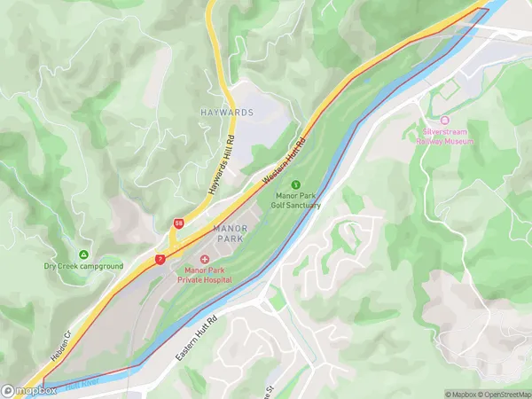
370 people live in Manor Park, Lower Hutt, NZManor Park Suburb Area Map (Polygon)
Manor Park Introduction
Manor Park is a suburb of Lower Hutt, Wellington, New Zealand. It is located in the eastern part of the city, bordered by the Hutt River and State Highway 2. The suburb has a mix of residential and commercial properties and is known for its peaceful atmosphere and convenient location. It is also home to a number of parks and recreational facilities, including Manor Park Reserve and the Manor Park Golf Club.Region
Major City
Suburb Name
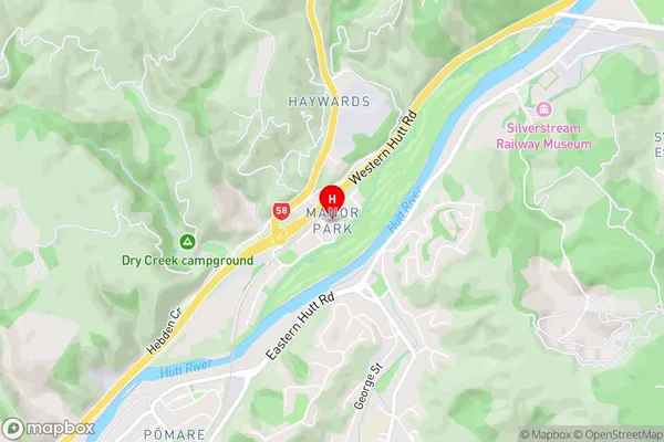
Manor ParkManor Park Area Map (Street)
Local Authority
Lower Hutt CityFull Address
Manor Park, Lower Hutt City, New ZealandAddress Type
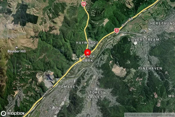
Suburb in City Lower HuttManor Park Suburb Map (Satellite)
Country
Main Region in AU
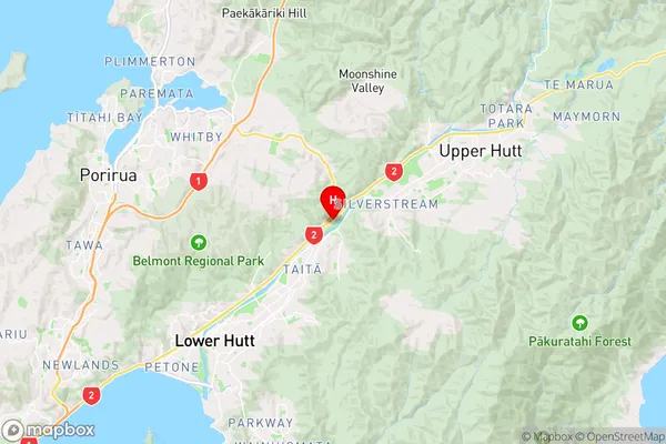
WellingtonManor Park Region Map
Coordinates
-41.1572837,174.9788834 (latitude/longitude)Distances
The distance from Manor Park, Lower Hutt, Lower Hutt City to NZ Top 10 Cities