Waihinau Bay Area, Waihinau Bay Postcode & Map in Waihinau Bay
Waihinau Bay Area, Waihinau Bay Postcode & Map in Waihinau Bay, Marlborough District, New Zealand
Waihinau Bay, Marlborough District, New Zealand
Waihinau Bay Area (estimated)
2.3 square kilometersWaihinau Bay Population (estimated)
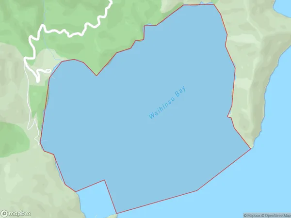
0 people live in Waihinau Bay, Marlborough, NZWaihinau Bay Suburb Area Map (Polygon)
Waihinau Bay Introduction
Waihinau Bay is a large, sheltered bay in Marlborough, New Zealand. It is known for its clear waters, sandy beaches, and stunning natural scenery. The bay is a popular destination for boating, swimming, and fishing, and is home to a variety of wildlife, including seals, dolphins, and penguins. The bay is also a significant cultural and historical site, with several important Maori settlements located along its shores.Region
Suburb Name
Waihinau BayOther Name(s)
Waitata Reach (Maori Name: Waitātā Reach)Waihinau Bay Area Map (Street)

Local Authority
Marlborough DistrictFull Address
Waihinau Bay, Marlborough District, New ZealandAddress Type
Coastal BayWaihinau Bay Suburb Map (Satellite)

Country
Main Region in AU
MarlboroughWaihinau Bay Region Map

Coordinates
-40.9446334,173.958752752422 (latitude/longitude)Distances
The distance from Waihinau Bay, , Marlborough District to NZ Top 10 Cities