Waiheke Bay Area, Waiheke Bay Postcode(1081) & Map in Waiheke Bay
Waiheke Bay Area, Waiheke Bay Postcode(1081) & Map in Waiheke Bay, Auckland, New Zealand
Waiheke Bay, Auckland, New Zealand
Waiheke Bay Postcodes
Waiheke Bay Area (estimated)
0.2 square kilometersWaiheke Bay Population (estimated)
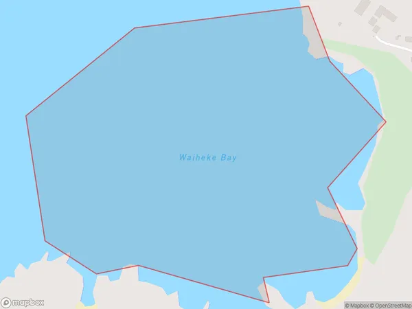
0 people live in Waiheke Bay, Waiheke, NZWaiheke Bay Suburb Area Map (Polygon)
Waiheke Bay Introduction
Waiheke Island is a 35-minute ferry ride from Auckland's downtown. It is well-known for its vineyards, olive groves, and stunning beaches. The island has a relaxed, hippy vibe and is a popular weekend getaway for Aucklanders. It also has several hiking trails and a population of around 9,000 people.Region
Major City
Suburb Name
Waiheke BayOther Name(s)
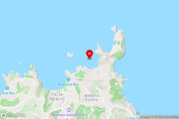
Hauraki GulfWaiheke Bay Area Map (Street)
Local Authority
AucklandFull Address
Waiheke Bay, Auckland, New ZealandAddress Type
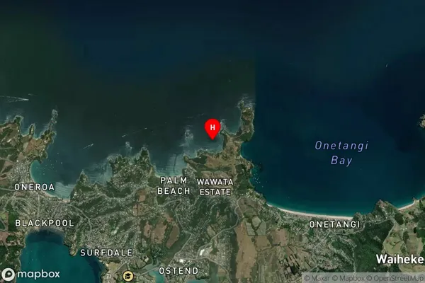
Coastal BayWaiheke Bay Suburb Map (Satellite)
Country
Main Region in AU
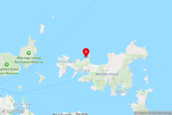
AucklandWaiheke Bay Region Map
Coordinates
-36.7730467,175.0530203 (latitude/longitude)Distances
The distance from Waiheke Bay, , Auckland to NZ Top 10 Cities