Urupukapuka Bay Area, Urupukapuka Bay Postcode & Map in Urupukapuka Bay
Urupukapuka Bay Area, Urupukapuka Bay Postcode & Map in Urupukapuka Bay, Far North District, New Zealand
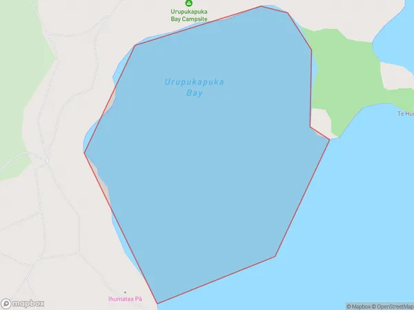
Urupukapuka Bay, Far North District, New Zealand
Urupukapuka Bay Area (estimated)
0.3 square kilometersUrupukapuka Bay Population (estimated)
0 people live in Urupukapuka Bay, Bay of Islands-Whangaroa Community, NZUrupukapuka Bay Suburb Area Map (Polygon)
Urupukapuka Bay Introduction
Urupukapuka Bay is a secluded beach in Northland, New Zealand, known for its untouched beauty and stunning natural surroundings. It is surrounded by rugged cliffs, dense forests, and crystal-clear waters, making it a popular destination for nature lovers and adventure seekers alike. The bay offers a range of activities, including hiking, snorkeling, and kayaking, and is home to a diverse range of wildlife, including sea birds, dolphins, and whales.Region
Major City
Suburb Name
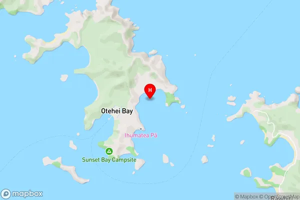
Urupukapuka BayOther Name(s)
Te Rawhiti Inlet, Bay Of IslandsUrupukapuka Bay Area Map (Street)
Local Authority
Far North DistrictFull Address
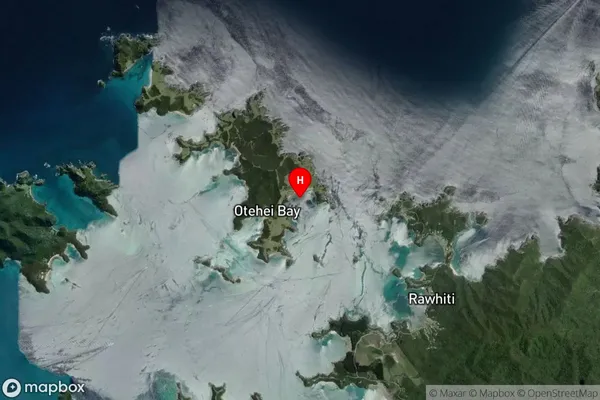
Urupukapuka Bay, Far North District, New ZealandAddress Type
Coastal BayUrupukapuka Bay Suburb Map (Satellite)
Country
Main Region in AU
NorthlandUrupukapuka Bay Region Map

Coordinates
-35.2192038,174.2385313 (latitude/longitude)Distances
The distance from Urupukapuka Bay, , Far North District to NZ Top 10 Cities