Tutaepawhati Bay Area, Tutaepawhati Bay Postcode & Map in Tutaepawhati Bay
Tutaepawhati Bay Area, Tutaepawhati Bay Postcode & Map in Tutaepawhati Bay, Area outside Territorial Authority, New Zealand
Tutaepawhati Bay, Area outside Territorial Authority, New Zealand
Tutaepawhati Bay Area (estimated)
0.2 square kilometersTutaepawhati Bay Population (estimated)
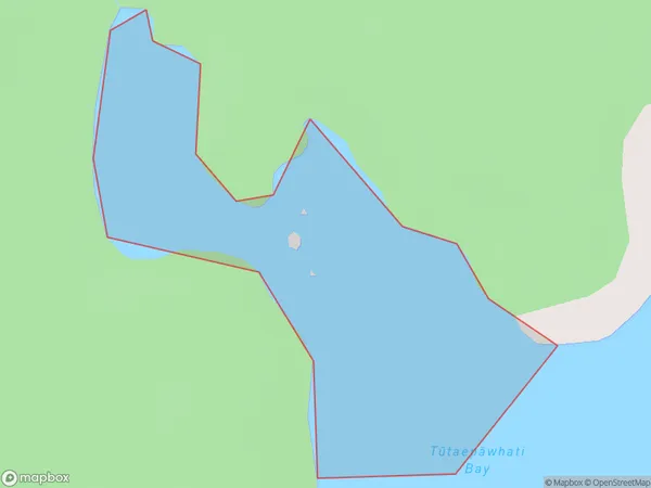
0 people live in Tutaepawhati Bay, Southland, NZTutaepawhati Bay Suburb Area Map (Polygon)
Tutaepawhati Bay Introduction
Tutaepawhati Bay is a small, sheltered bay located in Southland, New Zealand. It is known for its stunning natural beauty, including rugged cliffs, crystal-clear waters, and a diverse range of marine life. The bay is a popular spot for fishing, kayaking, and hiking, and is surrounded by picturesque farmland and forests. It is also home to a small community of people who live in the surrounding area.Region
Suburb Name
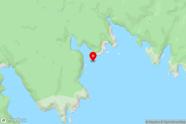
Tutaepawhati Bay (Maori Name: Tūtaepāwhati Bay)Tutaepawhati Bay Area Map (Street)
Local Authority
Area outside Territorial AuthorityFull Address
Tutaepawhati Bay, Area outside Territorial Authority, New ZealandAddress Type
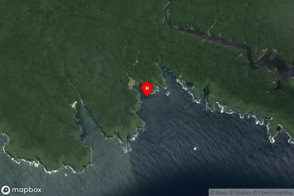
Coastal BayTutaepawhati Bay Suburb Map (Satellite)
Country
Main Region in AU
SouthlandTutaepawhati Bay Region Map

Coordinates
-47.1115699,168.0663479 (latitude/longitude)Distances
The distance from Tutaepawhati Bay, , Area outside Territorial Authority to NZ Top 10 Cities