Mangere East Area, Mangere East Postcode(2155) & Map in Mangere East
Mangere East Area, Mangere East Postcode(2155) & Map in Mangere East, Auckland, New Zealand
Mangere East, Auckland, New Zealand
Mangere East Area (estimated)
7.1 square kilometersMangere East Population (estimated)
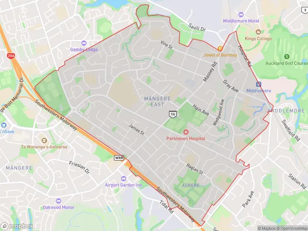
27698 people live in Mangere East, Māngere-Ōtāhuhu, NZMangere East Suburb Area Map (Polygon)
Mangere East Introduction
Mangere East is a suburb in Auckland, New Zealand, with a diverse population and a rich cultural heritage. It is known for its vibrant community spirit and strong sense of identity, with a variety of shops, restaurants, and recreational facilities. The suburb is also home to several important landmarks, including the Mangere East Library and the Mangere East Medical Centre.Region
Major City
Suburb Name
Mangere East (Maori Name: Māngere East)Other Name(s)
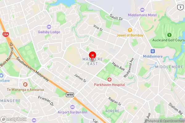
Mangere SouthMangere East Area Map (Street)
Local Authority
AucklandFull Address
Mangere East, Auckland, New ZealandAddress Type
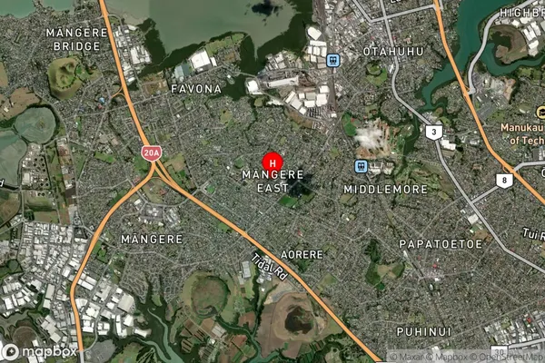
Suburb in City AucklandMangere East Suburb Map (Satellite)
Country
Main Region in AU
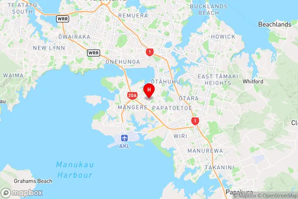
AucklandMangere East Region Map
Coordinates
-36.9653466,174.8223043 (latitude/longitude)Distances
The distance from Mangere East, Auckland, Auckland to NZ Top 10 Cities