Tipi Bay Area, Tipi Bay Postcode & Map in Tipi Bay
Tipi Bay Area, Tipi Bay Postcode & Map in Tipi Bay, Marlborough District, New Zealand
Tipi Bay, Marlborough District, New Zealand
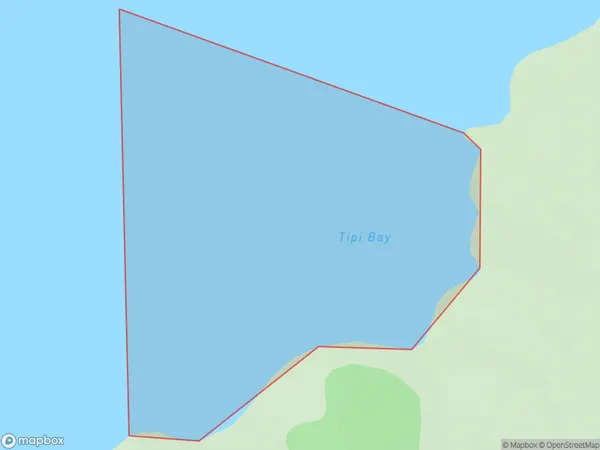
Tipi Bay Area (estimated)
0.3 square kilometersTipi Bay Population (estimated)
0 people live in Tipi Bay, Marlborough, NZTipi Bay Suburb Area Map (Polygon)
Tipi Bay Introduction
'Tipi Bay' is a picturesque beach located in Marlborough, New Zealand. It is known for its crystal-clear waters, stunning sunsets, and lush green surroundings. The beach is a popular spot for swimming, sunbathing, and kayaking, and it is surrounded by native forests and vineyards. Visitors can also enjoy a meal at one of the nearby restaurants or stay in one of the nearby accommodations.Region
Suburb Name
Tipi BayOther Name(s)
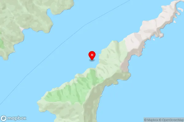
Queen Charlotte Sound (Totaranui)Tipi Bay Area Map (Street)
Local Authority
Marlborough DistrictFull Address
Tipi Bay, Marlborough District, New ZealandAddress Type
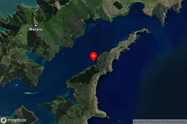
Coastal BayTipi Bay Suburb Map (Satellite)
Country
Main Region in AU
MarlboroughTipi Bay Region Map

Coordinates
-41.226461,174.2856918 (latitude/longitude)Distances
The distance from Tipi Bay, , Marlborough District to NZ Top 10 Cities