Tikotatahi Bay Area, Tikotatahi Bay Postcode & Map in Tikotatahi Bay
Tikotatahi Bay Area, Tikotatahi Bay Postcode & Map in Tikotatahi Bay, Area outside Territorial Authority, New Zealand
Tikotatahi Bay, Area outside Territorial Authority, New Zealand
Tikotatahi Bay Area (estimated)
0.9 square kilometersTikotatahi Bay Population (estimated)
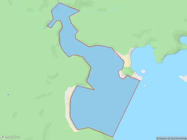
0 people live in Tikotatahi Bay, Southland, NZTikotatahi Bay Suburb Area Map (Polygon)
Tikotatahi Bay Introduction
Tikotatahi Bay is a small, sheltered bay located in Fiordland National Park in Southland, New Zealand. It is known for its stunning natural beauty, including rugged cliffs, lush forests, and crystal-clear waters. The bay is a popular spot for hiking, camping, and fishing, and is home to a variety of wildlife, including seals, dolphins, and penguins.Region
Suburb Name
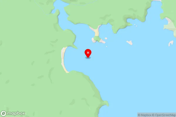
Tikotatahi Bay (Maori Name: Tikotātahi Bay)Tikotatahi Bay Area Map (Street)
Local Authority
Area outside Territorial AuthorityFull Address
Tikotatahi Bay, Area outside Territorial Authority, New ZealandAddress Type
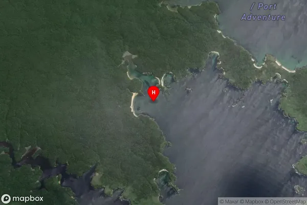
Coastal BayTikotatahi Bay Suburb Map (Satellite)
Country
Main Region in AU
SouthlandTikotatahi Bay Region Map

Coordinates
-47.0899251,168.1496623 (latitude/longitude)Distances
The distance from Tikotatahi Bay, , Area outside Territorial Authority to NZ Top 10 Cities