The Snuggery Area, The Snuggery Postcode(9846) & Map in The Snuggery
The Snuggery Area, The Snuggery Postcode(9846) & Map in The Snuggery, Area outside Territorial Authority, New Zealand
The Snuggery, Area outside Territorial Authority, New Zealand
The Snuggery Postcodes
The Snuggery Area (estimated)
0.0 square kilometersThe Snuggery Population (estimated)
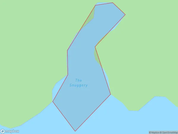
0 people live in The Snuggery, Southland, NZThe Snuggery Suburb Area Map (Polygon)

The Snuggery Introduction
The Snuggery is a small cafe in Southland, New Zealand, that is famous for its delicious homemade food and friendly service. It is located in a historic building and has a warm and welcoming atmosphere. The menu features a variety of dishes, including sandwiches, soups, salads, and desserts, all made with fresh, local ingredients. The Snuggery is a popular spot for locals and tourists alike, and has received numerous awards for its culinary excellence.Region
Suburb Name
The SnuggeryOther Name(s)
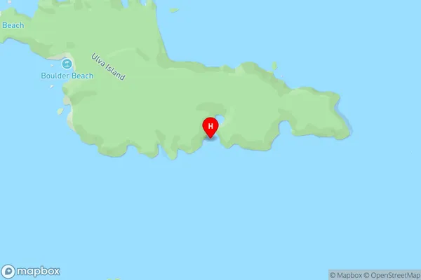
Paterson Inlet/Whaka a Te WeraThe Snuggery Area Map (Street)

Local Authority
Area outside Territorial AuthorityFull Address
The Snuggery, Area outside Territorial Authority, New ZealandAddress Type
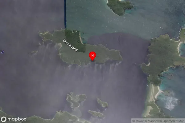
Coastal BayThe Snuggery Suburb Map (Satellite)

Country
Main Region in AU
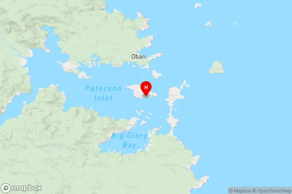
SouthlandThe Snuggery Region Map

Coordinates
-46.9371455,168.1391558 (latitude/longitude)Distances
The distance from The Snuggery, , Area outside Territorial Authority to NZ Top 10 Cities