Te Ruatarore Area, Te Ruatarore Postcode & Map in Te Ruatarore
Te Ruatarore Area, Te Ruatarore Postcode & Map in Te Ruatarore, Marlborough District, New Zealand
Te Ruatarore, Marlborough District, New Zealand
Te Ruatarore Area (estimated)
0.2 square kilometersTe Ruatarore Population (estimated)
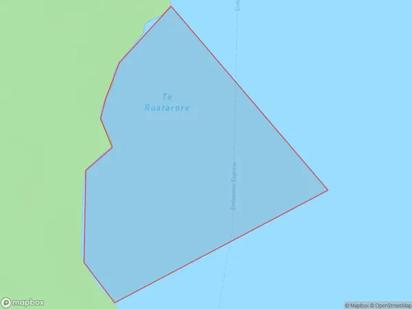
0 people live in Te Ruatarore, Marlborough, NZTe Ruatarore Suburb Area Map (Polygon)
Te Ruatarore Introduction
Te Ruatarore is a small, uninhabited island in the Marlborough Sounds, New Zealand. It is part of the Abel Tasman National Park and is known for its stunning natural beauty, including rugged cliffs, lush forests, and crystal-clear waters. The island is accessible by boat or helicopter and is a popular destination for hiking, camping, and wildlife viewing.Region
Suburb Name
Te RuataroreOther Name(s)
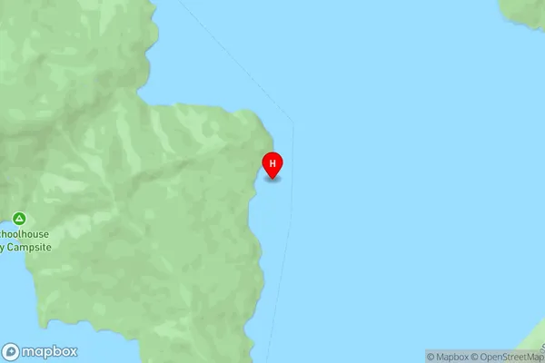
Queen Charlotte Sound (Totaranui)Te Ruatarore Area Map (Street)
Local Authority
Marlborough DistrictFull Address
Te Ruatarore, Marlborough District, New ZealandAddress Type
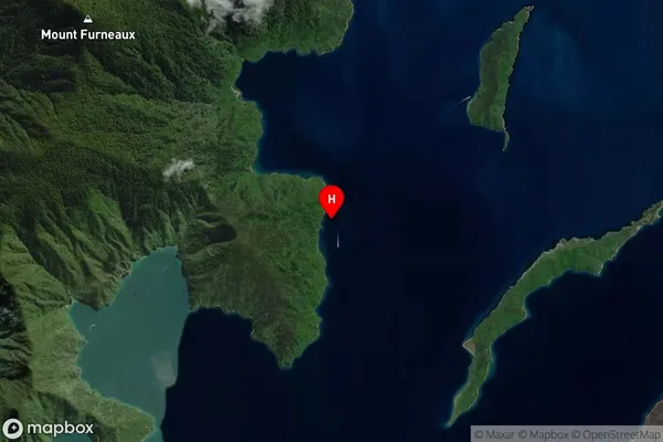
Coastal BayTe Ruatarore Suburb Map (Satellite)
Country
Main Region in AU
MarlboroughTe Ruatarore Region Map

Coordinates
-41.1087621,174.2491933 (latitude/longitude)Distances
The distance from Te Ruatarore, , Marlborough District to NZ Top 10 Cities