Te Oneroa Area, Te Oneroa Postcode & Map in Te Oneroa
Te Oneroa Area, Te Oneroa Postcode & Map in Te Oneroa, Area outside Territorial Authority,
Te Oneroa, Area outside Territorial Authority,
Te Oneroa Area (estimated)
1.0 square kilometersTe Oneroa Population (estimated)
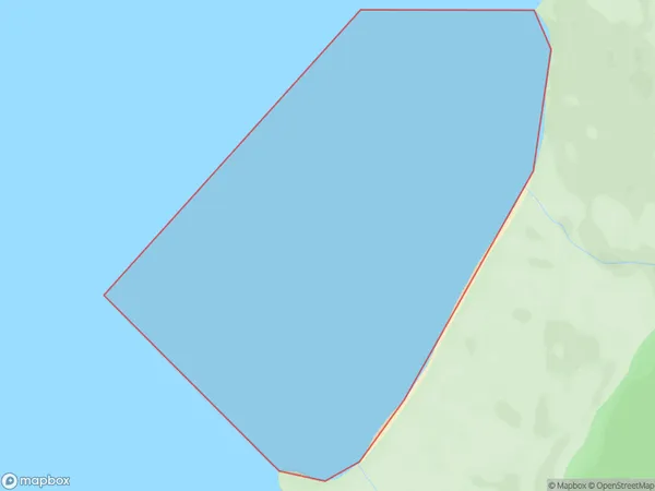
0 people live in Te Oneroa, Brighton, NZTe Oneroa Suburb Area Map (Polygon)
Te Oneroa Introduction
Te Oneroa is a small settlement in Otago, New Zealand, located on State Highway 1. It is known for its scenic views of the Taieri River and surrounding mountains and is a popular stop for tourists. The settlement also has a small museum and a community hall.Region
Major City
Suburb Name
Te OneroaTe Oneroa Area Map (Street)
Local Authority
Area outside Territorial AuthorityFull Address
Te Oneroa, Area outside Territorial Authority,Address Type
Coastal BayTe Oneroa Suburb Map (Satellite)
Country
Main Region in AU
OtagoTe Oneroa Region Map
Coordinates
0,0 (latitude/longitude)Distances
The distance from Te Oneroa, , Area outside Territorial Authority to NZ Top 10 Cities